30/10/20
Costa Calma Norte, Fuerteventura, Las Palmas
This aerial comparison documents the transformation of the northern section of Costa Calma on the island of Fuerteventura. The images capture the evolution of coastal development in this location within the Las Palmas province over a seventeen-year period.
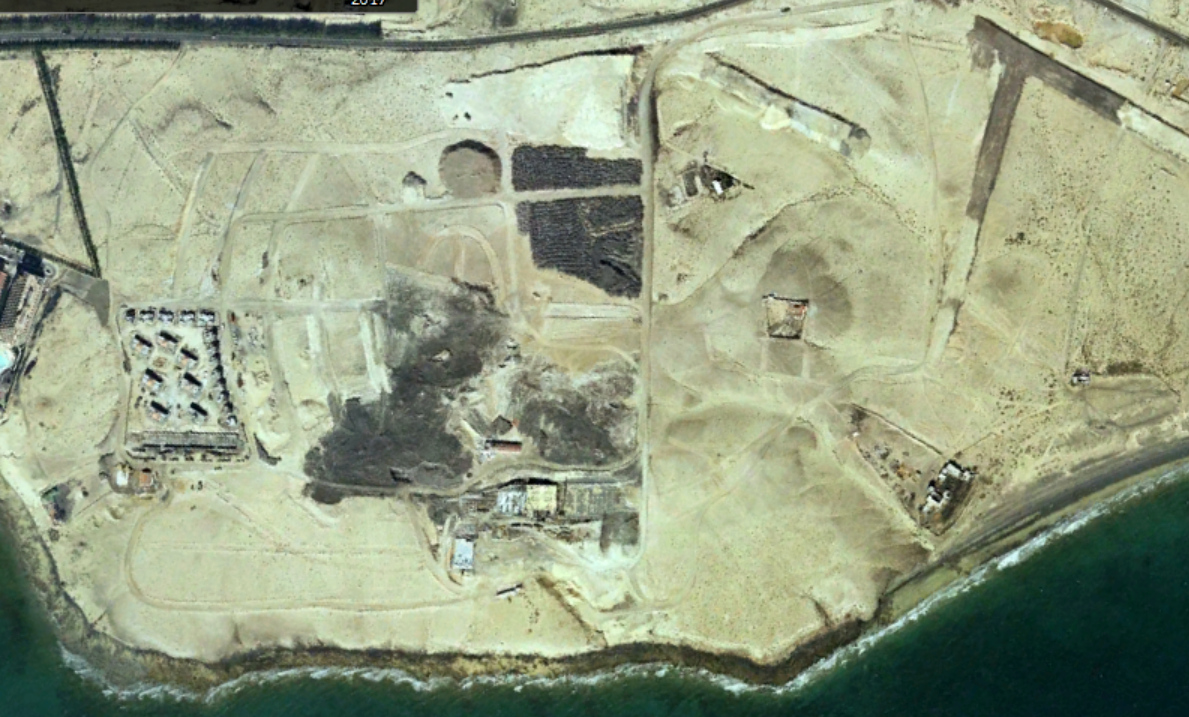
2000
2017
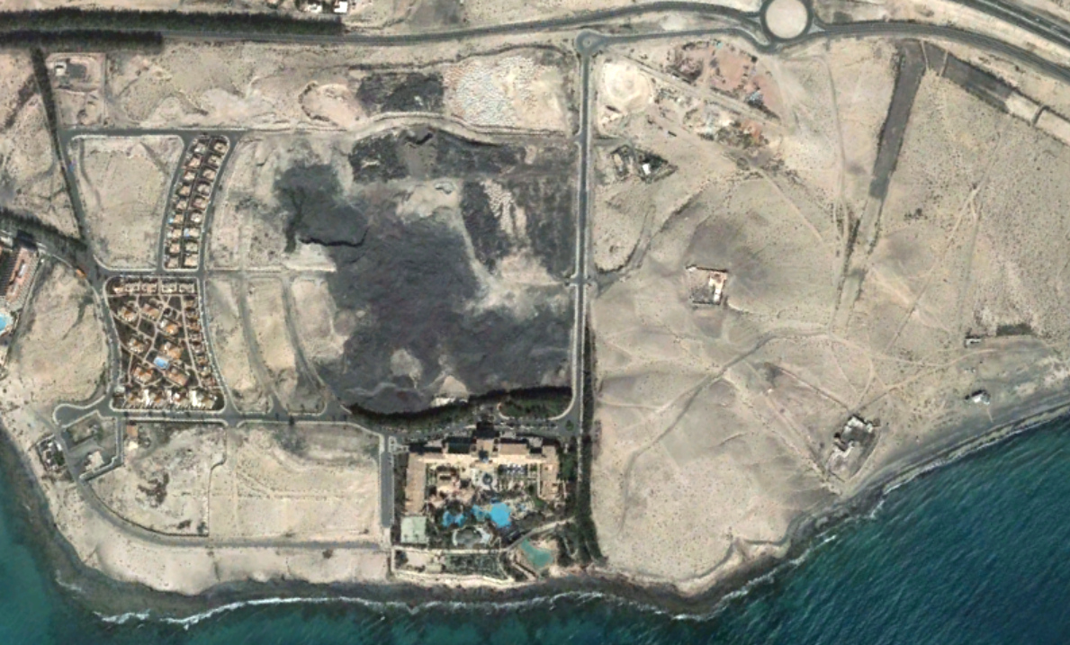
The sequence reveals the establishment of urban infrastructure in what was previously an empty coastal zone. The visual record shows the appearance of road networks, including roundabouts, and the organization of territory for development purposes. This documentation provides evidence of landscape modification patterns characteristic of coastal tourism expansion in the Canary Islands.