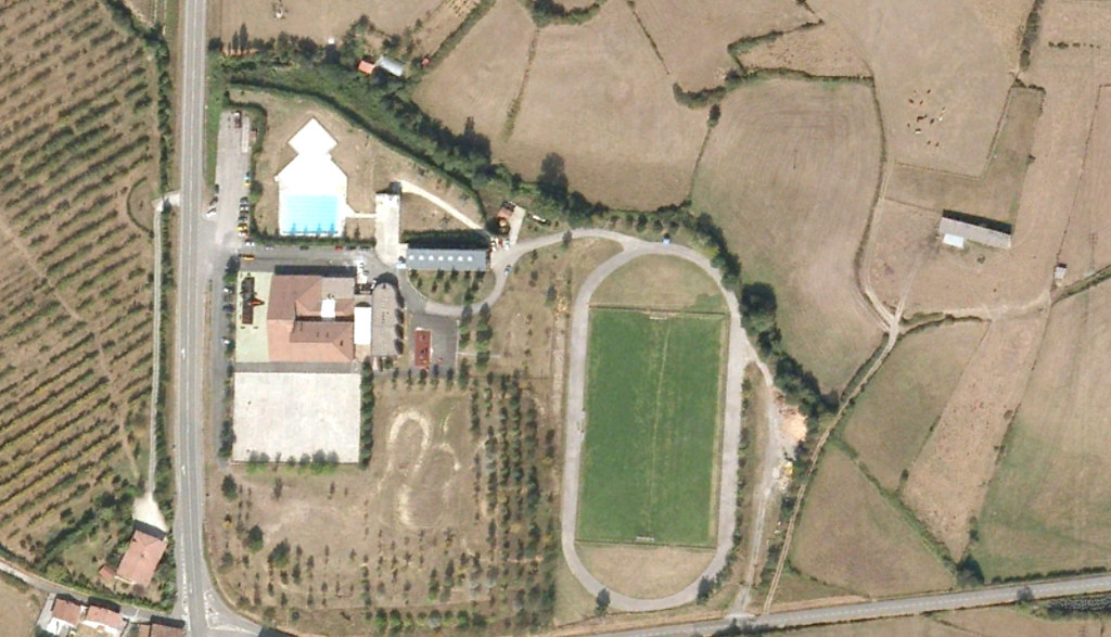
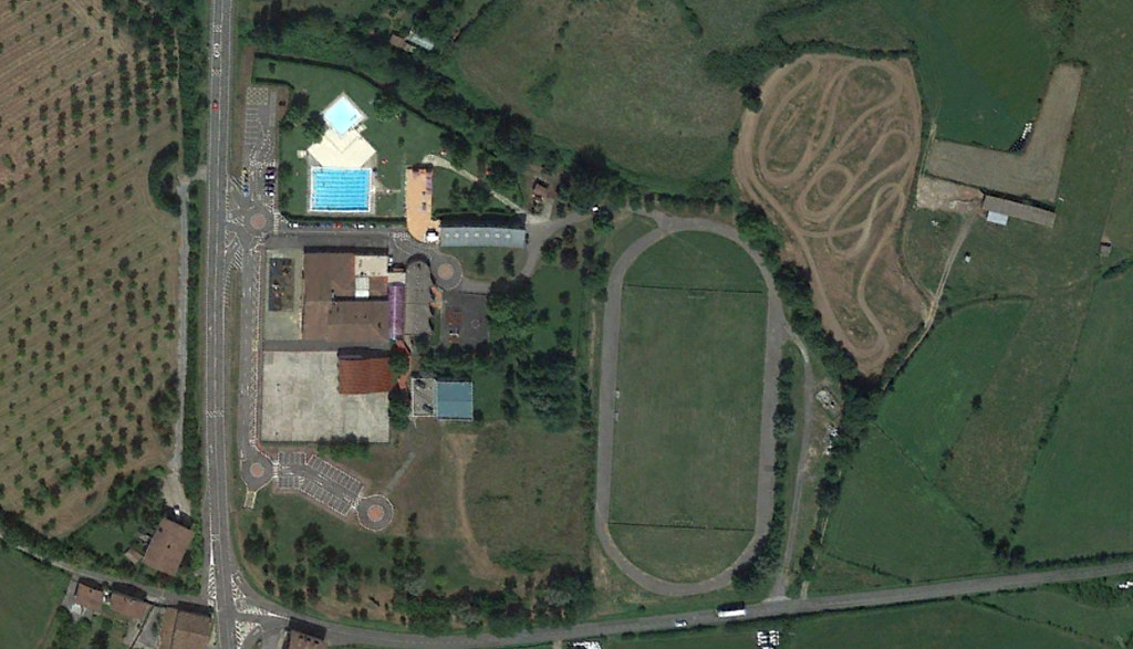
Visual documentation comparing landscape transformation at Etxaurren Ikastola between 2006 and 2018, showing changes in territorial development patterns.
Visual documentation comparing landscape transformation at Etxaurren Ikastola between 2006 and 2018, showing changes in territorial development patterns.
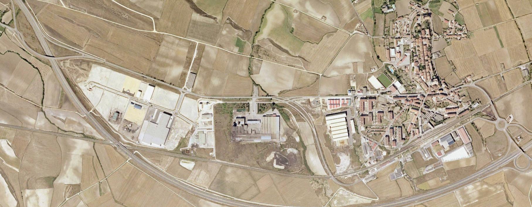
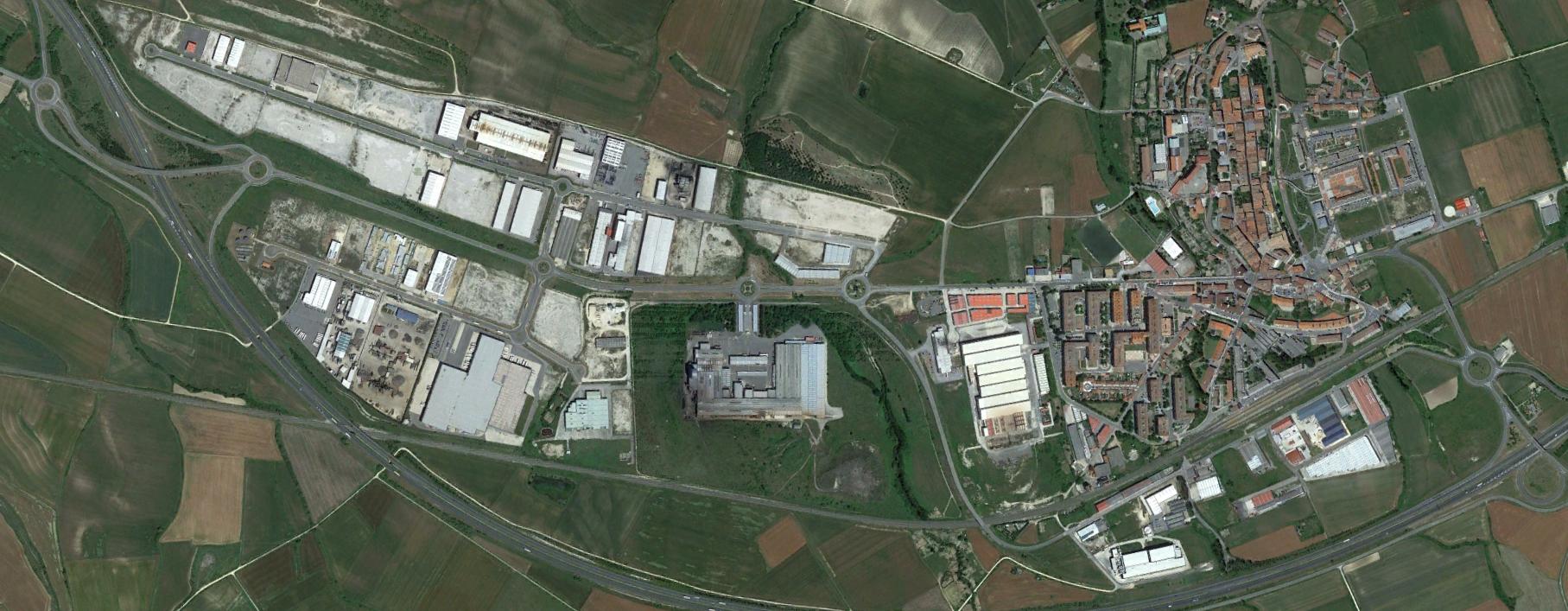
Aerial documentation capturing territorial modifications in Salvatierra/Agurain municipality from 2001 through 2016, illustrating urban expansion patterns.
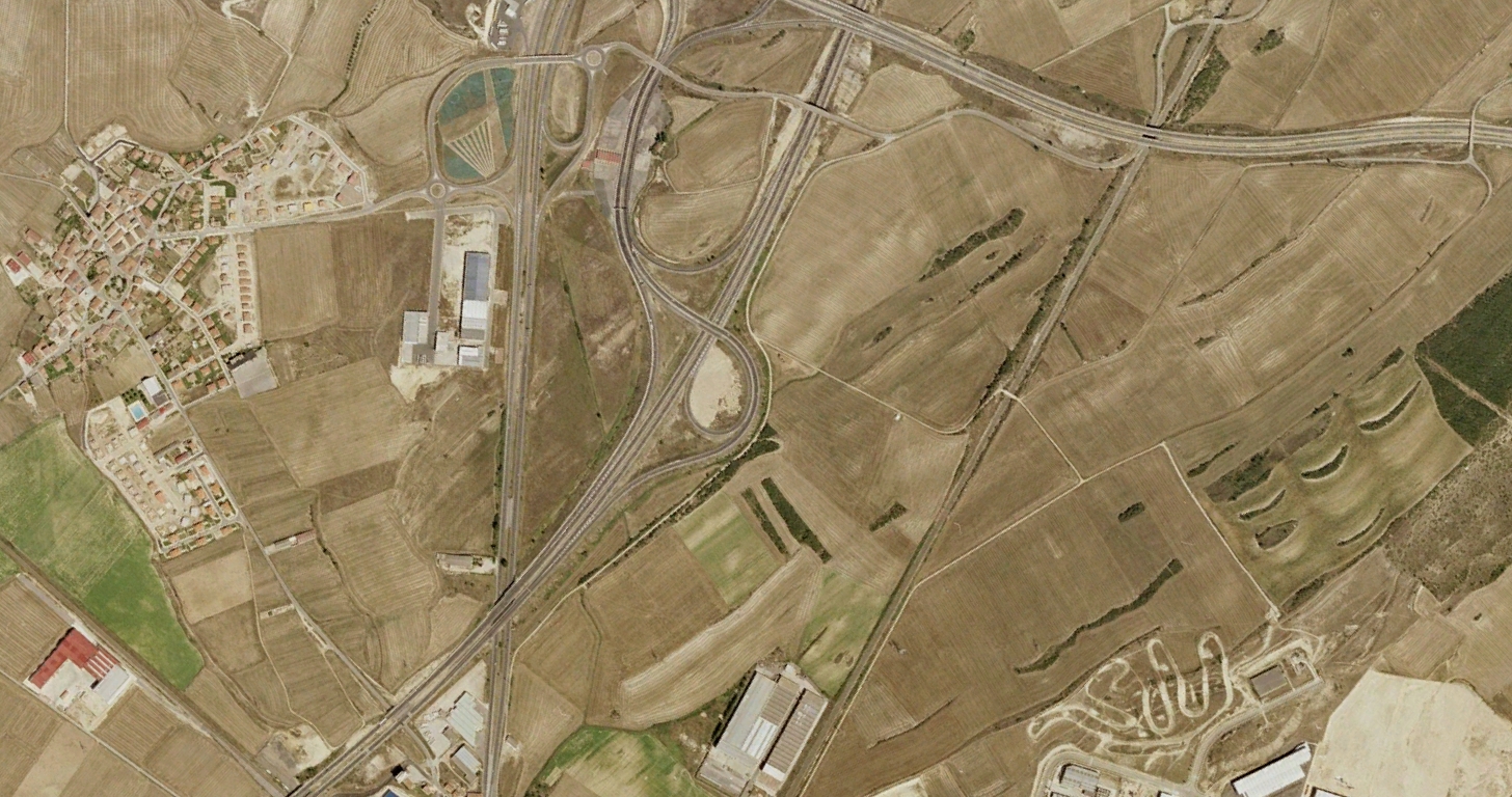
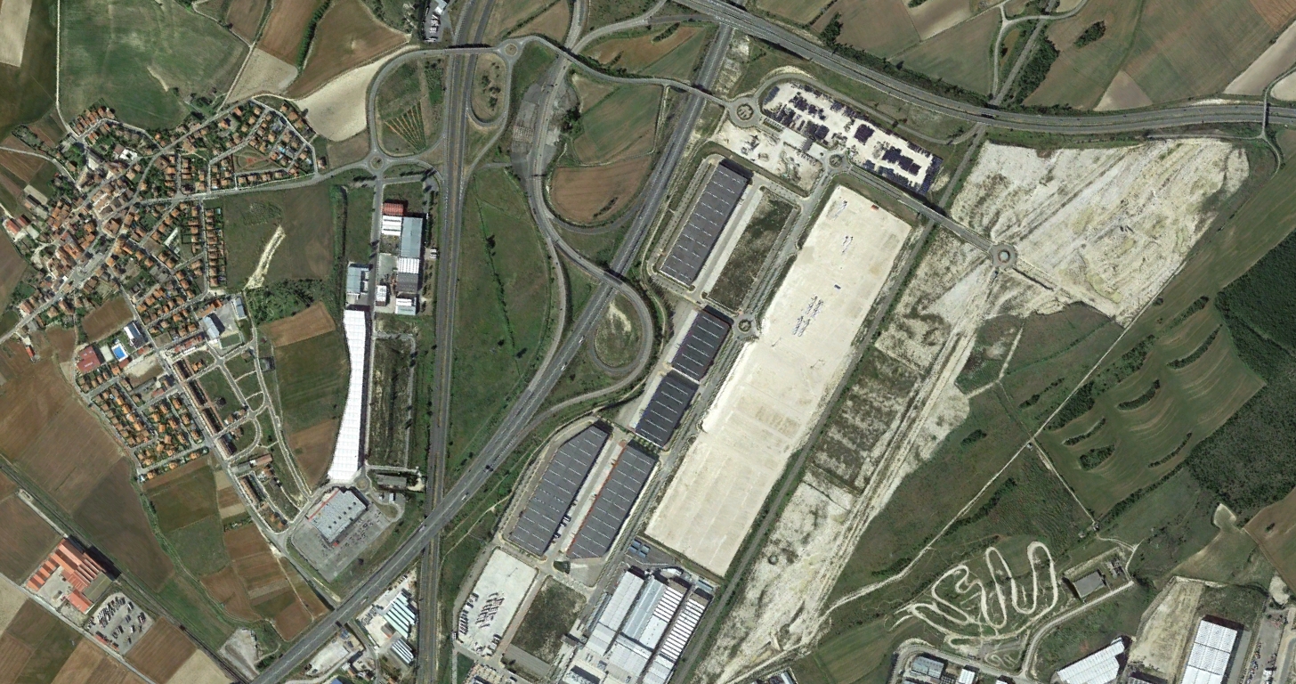
Comparative visual record documenting landscape transformation in Rivabellosa between 2001 and 2015, showing infrastructure and development changes.
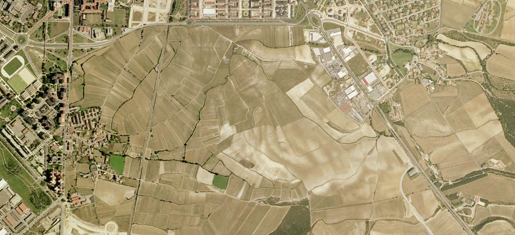
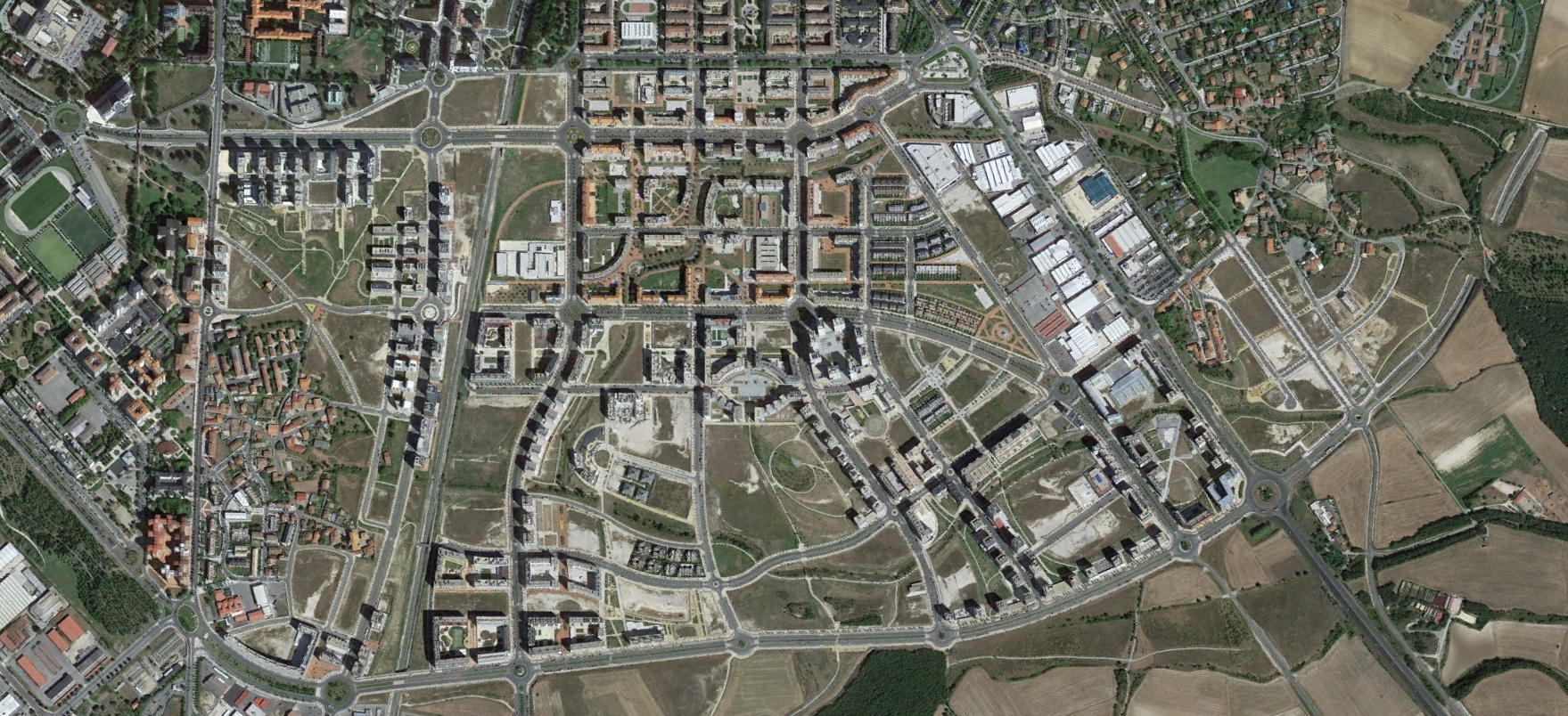
Observational documentation of urban growth patterns in western Vitoria from 2001 to 2014, revealing significant territorial modifications.
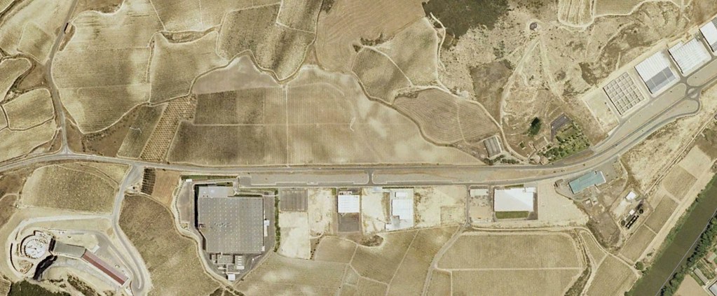
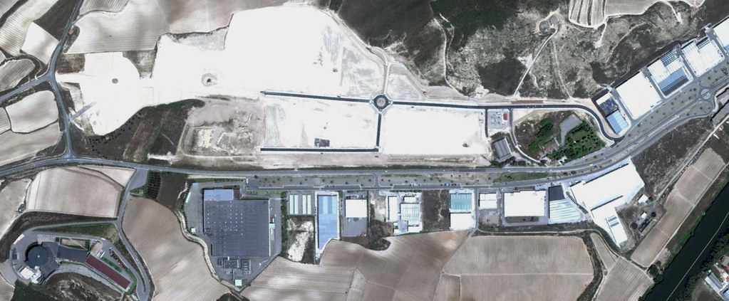
Photographic record of land use changes in Laserna municipality between 2001 and 2012, documenting infrastructure development.
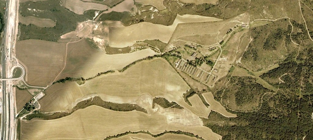
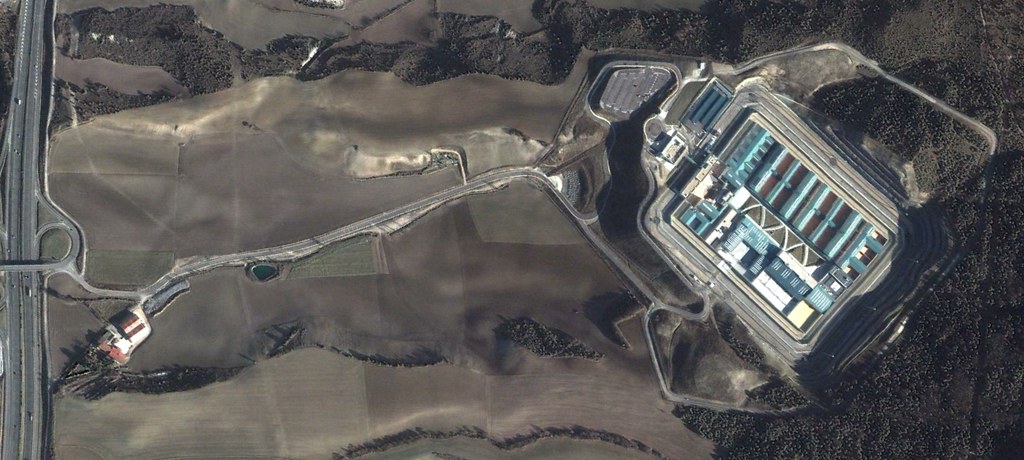
Decade-long visual documentation of correctional facility construction and surrounding landscape transformation in Nanclares de Oca, 2002-2012.
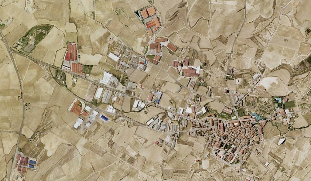
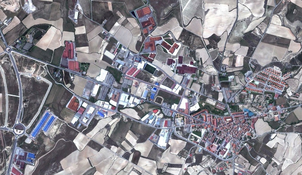
Comparative aerial imagery documenting territorial development in Oion-Oyón over an eleven-year period, 2001 to 2012.
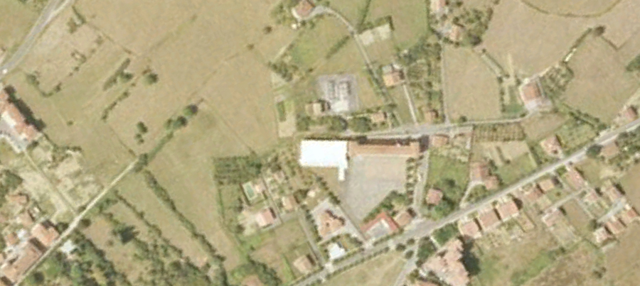
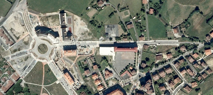
Extended timeline visual documentation tracking landscape evolution in Amurrio from 1991 through 2012, revealing two decades of change.
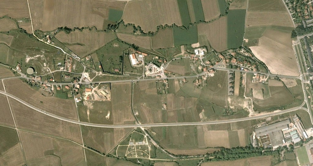
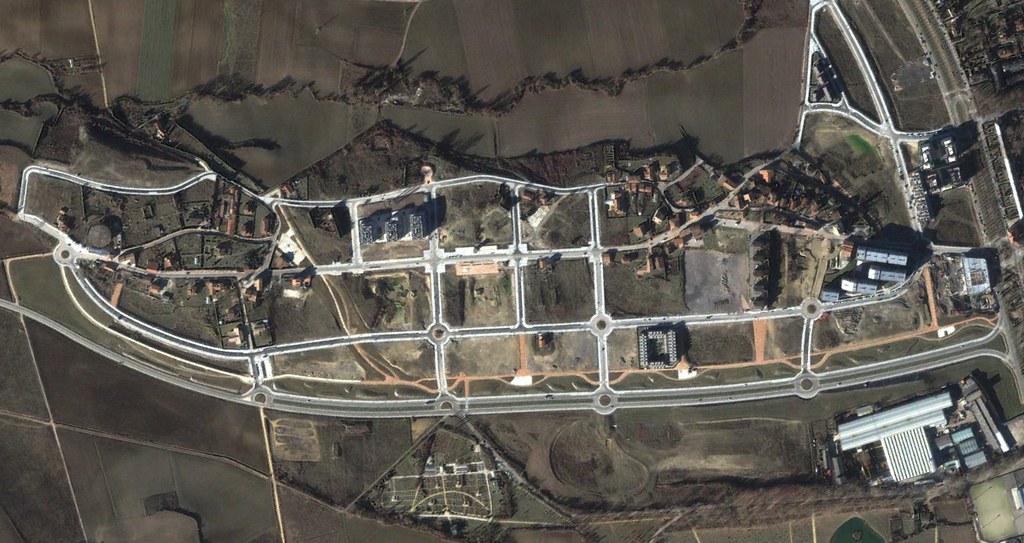
Observational record of territorial modifications in the Gardélegui-Arechavaleta area between 2002 and 2013.
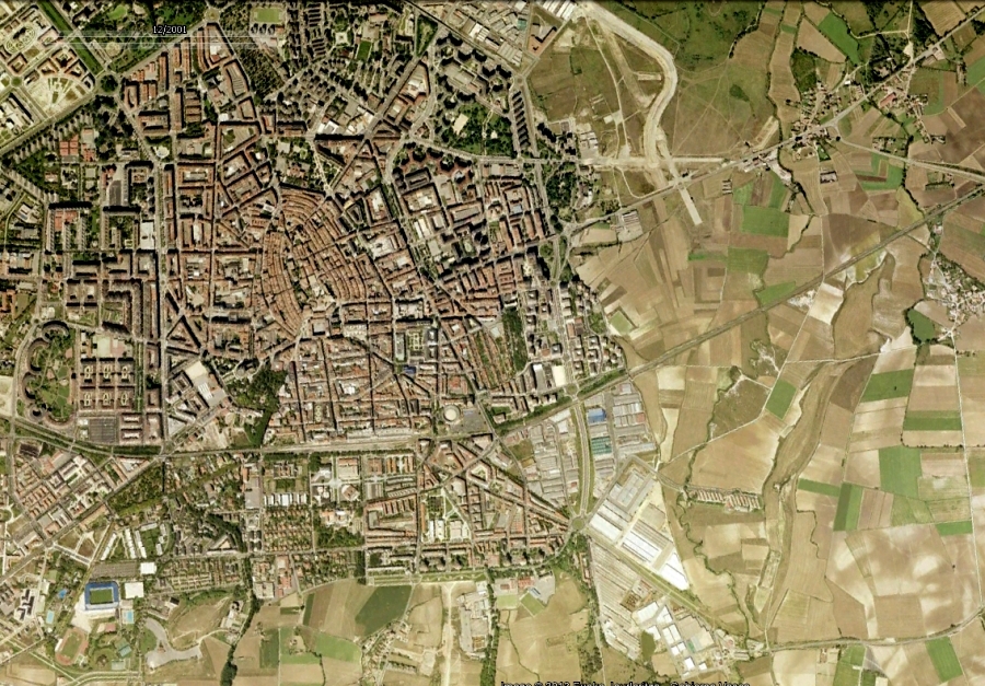
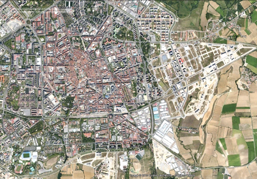
Decade-spanning documentation of urban expansion patterns in eastern Vitoria-Gasteiz, presenting 2001 and 2011 comparative perspectives.