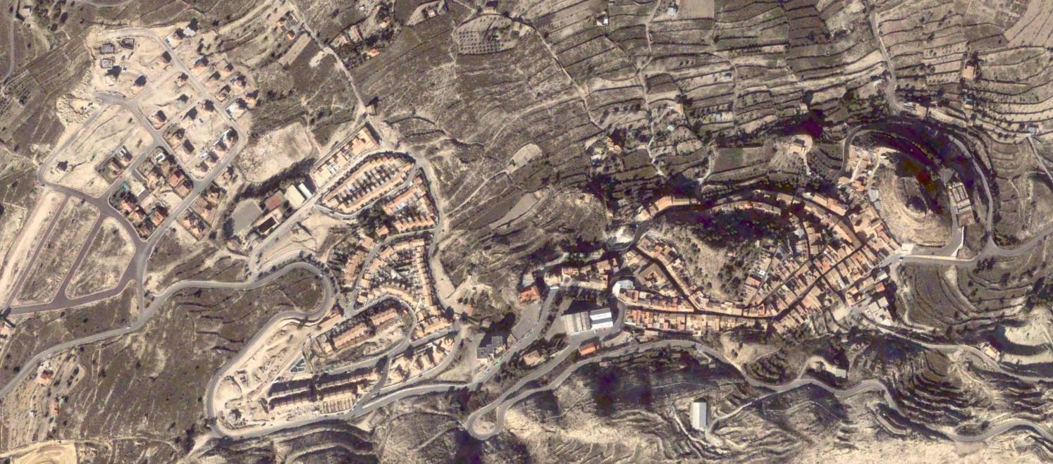
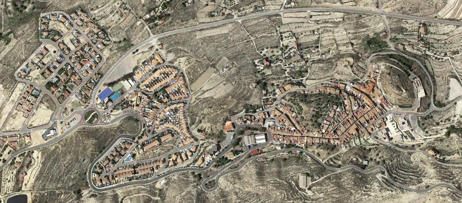
This visual record documents landscape evolution in Busot, a municipality located in the province of Alicante. The comparative imagery captures territorial modifications between 2002 and 2015, illustrating patterns of infrastructure development and land use transformation characteristic of this Valencian coastal region.
The photographic sequence reveals changes in the built environment, road network expansion, and shifts in the relationship between urban fabric and surrounding landscape over a thirteen-year period.