February 12, 2014
El Médano, Tenerife, Santa Cruz de Tenerife
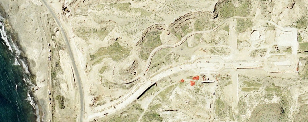
This aerial documentation captures the transformation of El Médano's coastal landscape over a thirteen-year period. The images reveal significant changes in land use patterns and built environment development along this southern Tenerife coastline.
2000
2013
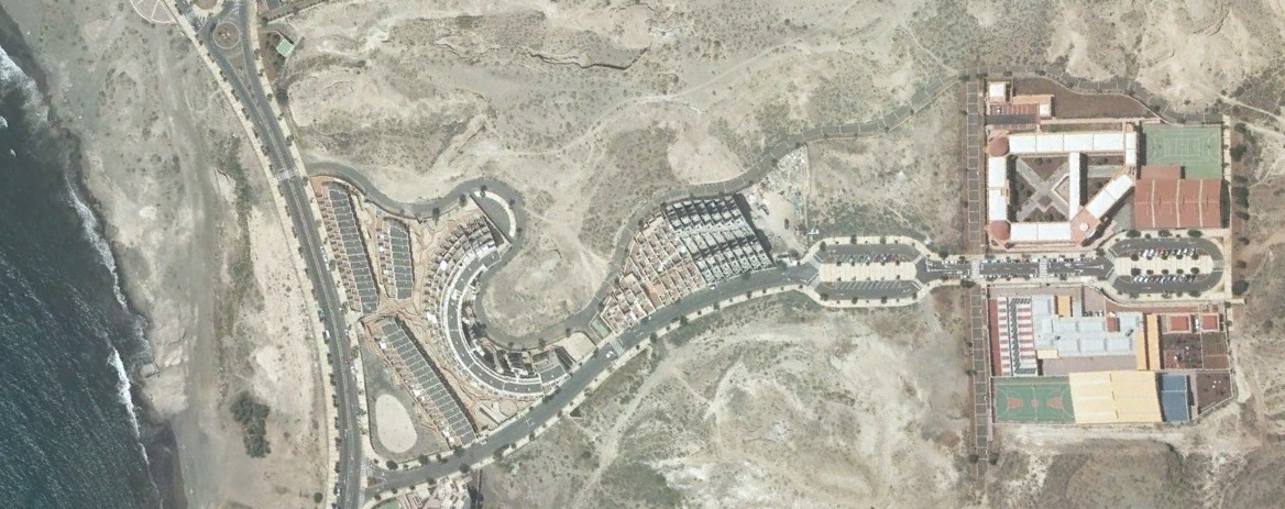
Aerial imagery comparison showing territorial development between 2000 and 2013
The visual record documents the expansion of urban fabric in this coastal municipality. Observable changes include increased residential density, infrastructure development, and modifications to the natural landscape adjacent to the shoreline.
El Médano
Santa Cruz de Tenerife