This visual comparison documents the spatial development patterns observed in Hellín, a municipality in Albacete province, spanning the period from 2003 to 2012. The imagery reveals significant modifications to the territorial fabric during this timeframe.
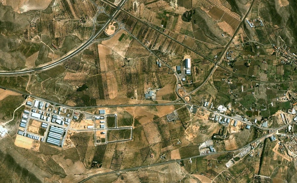
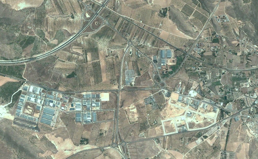
The documentation captures the transformation of previously undeveloped areas into structured zones characterized by new roadway infrastructure and built environment expansion. These changes reflect broader patterns of territorial reorganization observed across the Spanish landscape during the early 21st century.
View Complete Documentation