Visual documentation capturing territorial changes in the municipality of Hervás, located in the province of Cáceres. The comparative imagery illustrates landscape modifications observed over a ten-year interval.
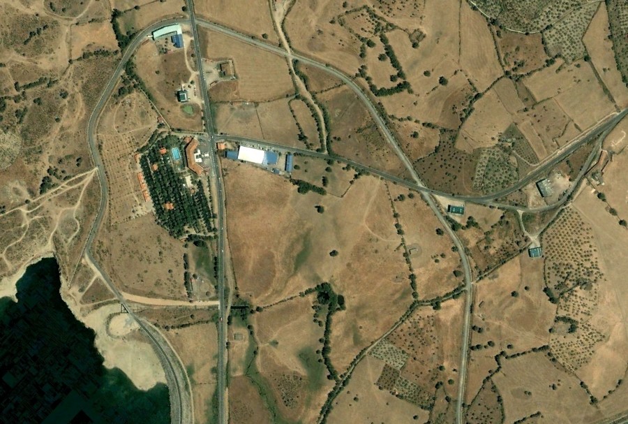
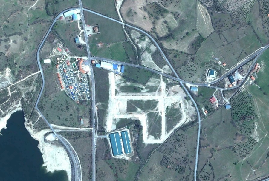
The documentation presents observable changes in infrastructure development and land use patterns within the documented timeframe. These comparative observations form part of a broader visual inventory examining landscape transformation across Spanish territories.