January 23, 2019
La Roda de Andalucía, Sevilla
This location in Sevilla province demonstrates the characteristic patterns of infrastructure expansion during the early 21st century. The transformation documented here spans the period from 2004 through 2018, capturing the evolution of land use and road network development in the municipality of La Roda de Andalucía.
The visual record shows the progression of territorial modification, with particular emphasis on transportation infrastructure and settlement pattern changes. These aerial perspectives provide evidence of how rural landscapes transitioned during Spain's construction boom years.
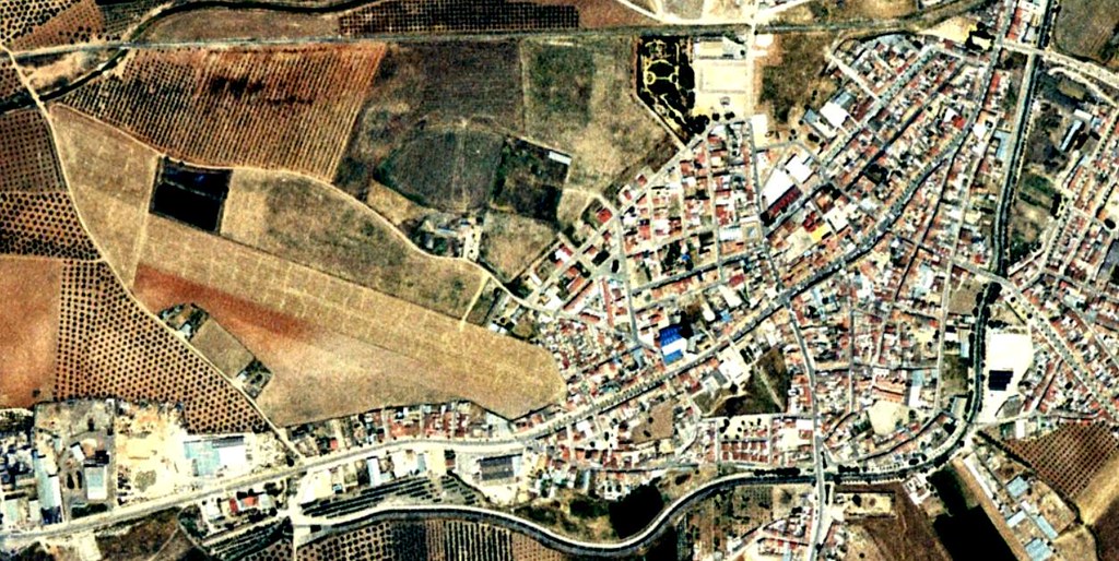
Initial state - 2004
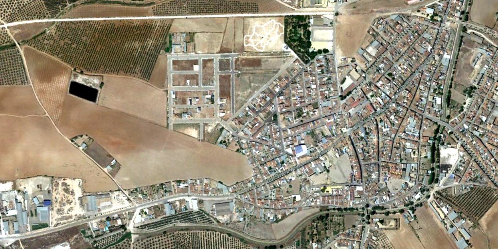
Documented changes - 2018