This comparative analysis examines territorial modifications observed in Lucena, located within Córdoba province. The documentation captures a five-year interval showcasing alterations to the landscape configuration.
2007 - Initial State
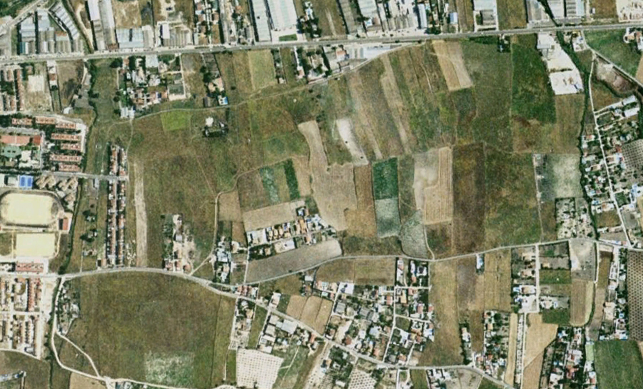
2012 - Transformed State
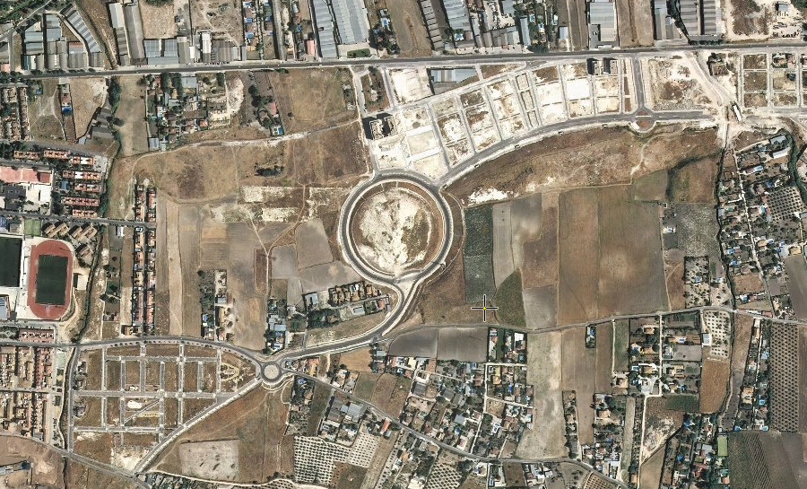
The photographic evidence documents the evolution of infrastructure and built environment during the period spanning from 2007 through 2012. The images reveal substantial modifications to the territorial structure, including the emergence of new circular traffic infrastructure elements characteristic of Spanish urban planning during this era.
These transformation patterns reflect broader regional development tendencies observed throughout Andalusia during the construction expansion period that preceded the economic adjustment.