This visual comparison documents landscape transformation in Puerto de Santiago, located in Tenerife within the province of Santa Cruz de Tenerife. The images capture the territorial changes that occurred between 2000 and 2015, illustrating patterns of urban expansion along the coastal region.
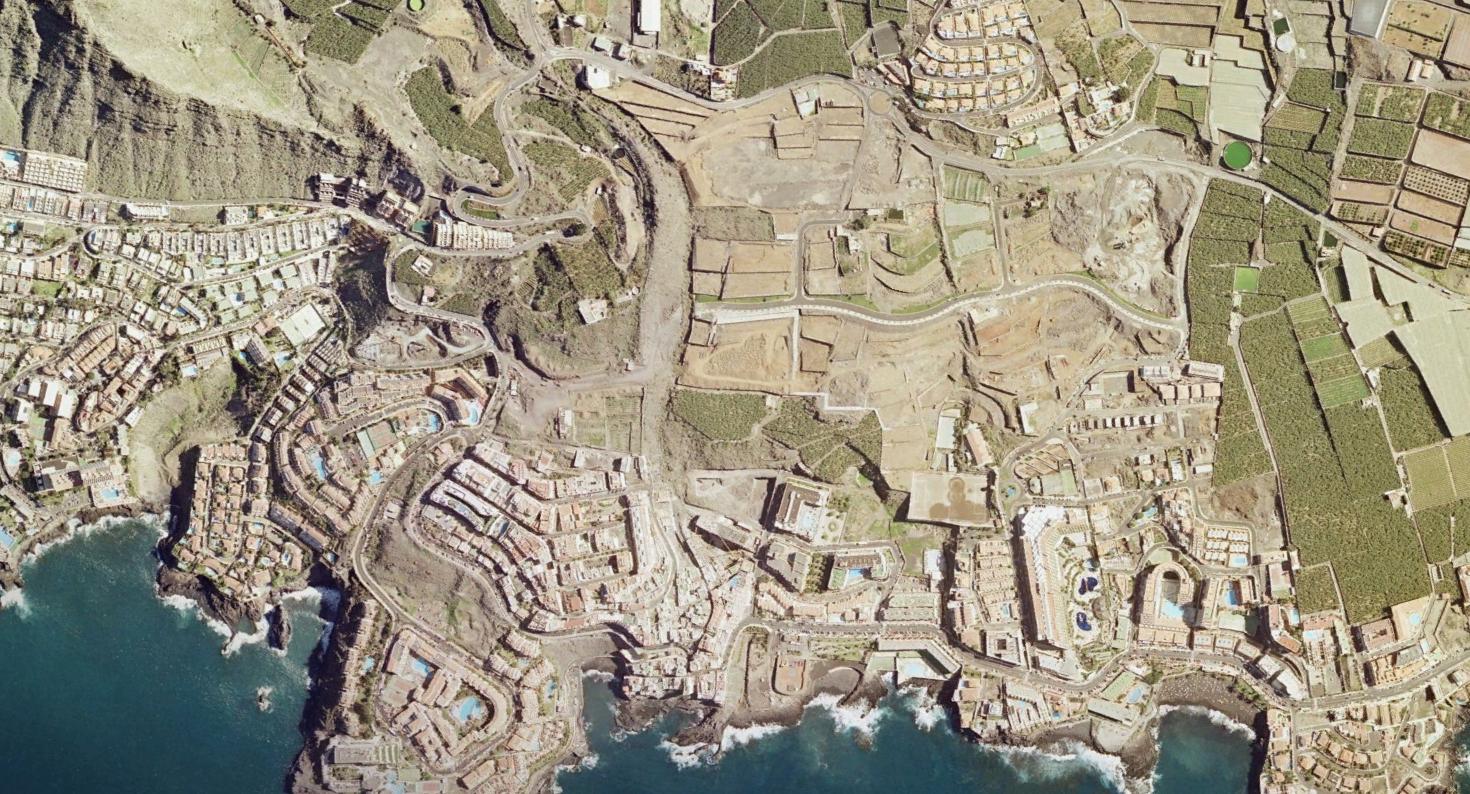
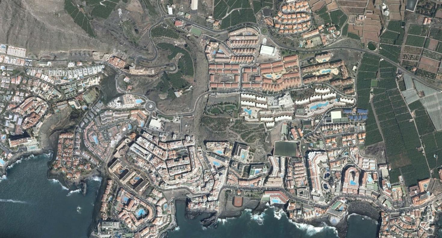
The comparative imagery reveals significant modifications to the built environment and infrastructure networks across this coastal settlement during the fifteen-year observation period.