August 10, 2017
Tavernes de la Valldigna, Valencia
This visual documentation captures territorial transformation between 2004 and 2017 in Tavernes de la Valldigna, Valencia province. The comparative imagery reveals the progressive modification of the landscape over a thirteen-year period, illustrating patterns of development and infrastructure expansion characteristic of early 21st-century Spanish urban growth.
2004
2017
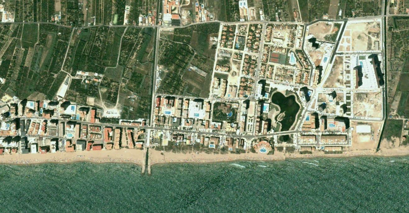
Comparative aerial imagery documenting land use changes in the municipality. The photographs serve as visual evidence of development patterns during Spain's construction boom period.