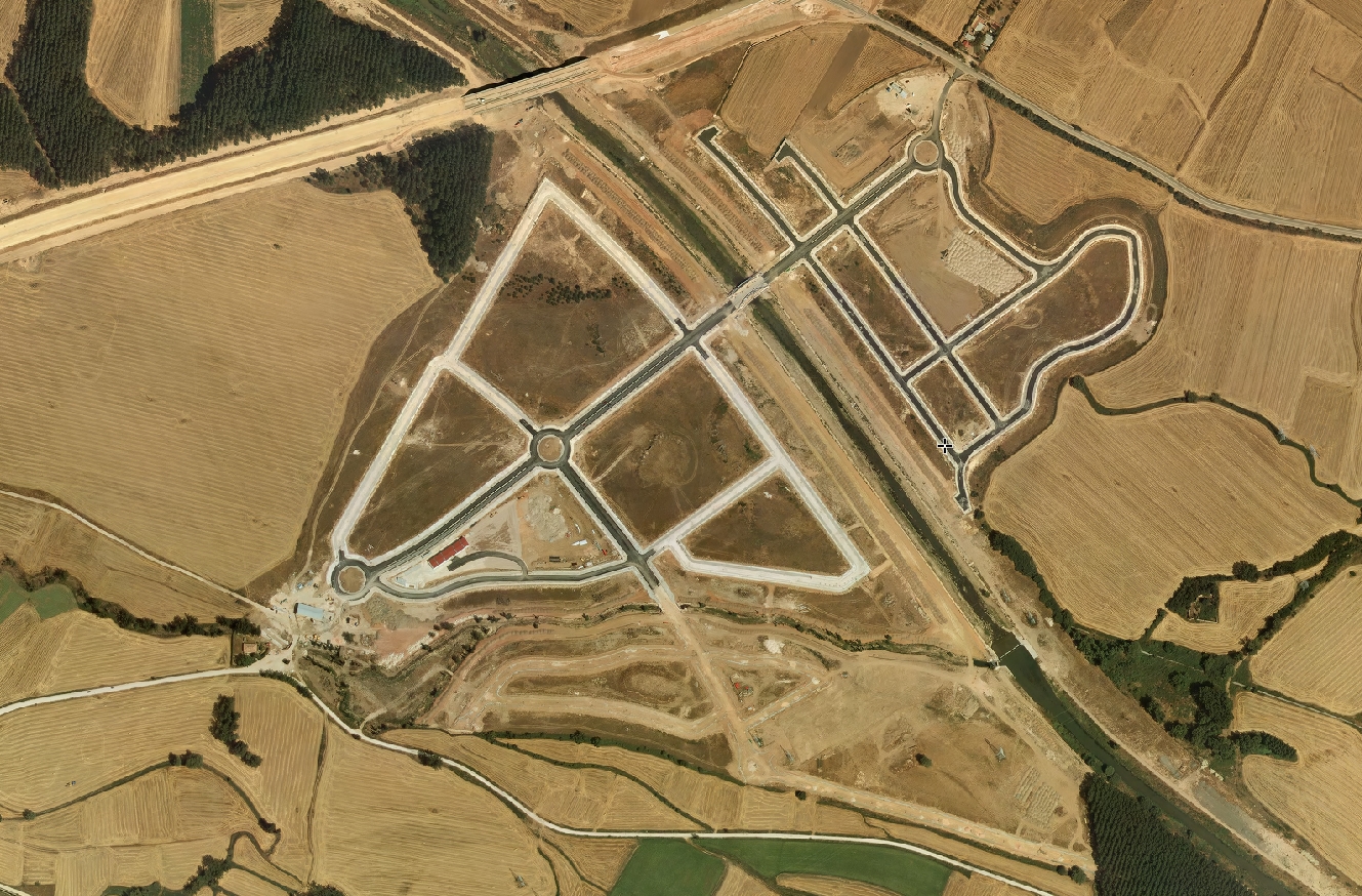
This comparative visual analysis documents the territorial modifications observed in Villalonquéjar, a municipality adjacent to Burgos, over a nine-year period spanning 2005 to 2014. The imagery reveals substantial alterations to the landscape configuration and built environment.
2005
2014
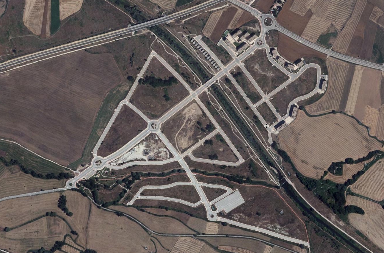
The photographic evidence illustrates the emergence of new transportation infrastructure, including a notable arched bridge structure and associated roadway networks. The spatial patterns demonstrate characteristic elements of suburban expansion during this period of Spanish urban development.