Documentation of territorial changes in Zuera, a municipality located in the province of Zaragoza. This comparative analysis captures the transformation of the landscape between 2004 and 2011, illustrating the patterns of urban expansion during Spain's construction boom period.
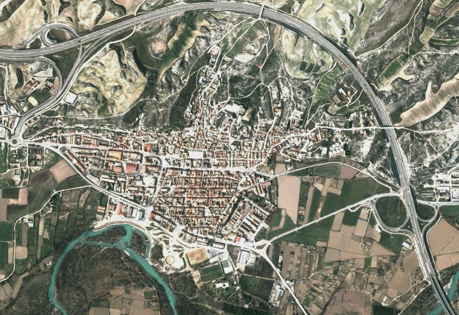
2004: Pre-development view
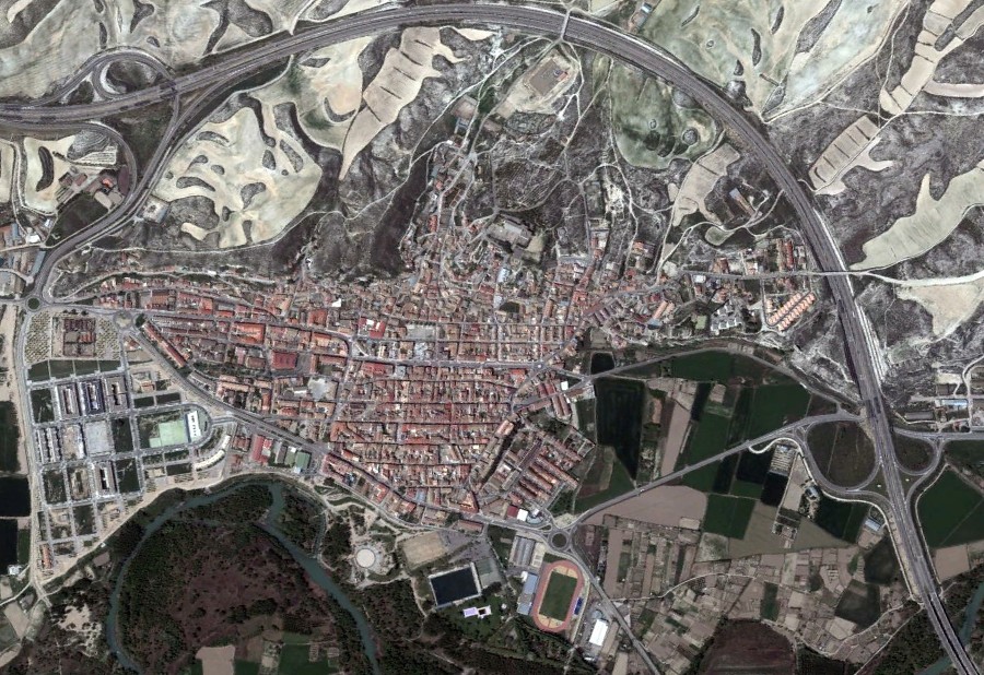
2011: Post-development view with new infrastructure
The visual evidence presented here documents significant alterations to the territory, including the construction of new roadway infrastructure and the characteristic roundabout intersections that became prevalent during this period of Spanish urban development.