Jandía, Fuerteventura, Las Palmas
This visual record documents the coastal development patterns observed in Jandía, located on the island of Fuerteventura in the Las Palmas province. The comparative imagery captures the landscape transformation occurring between the years 2000 and 2017.
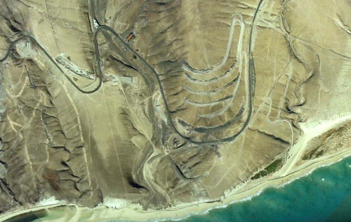
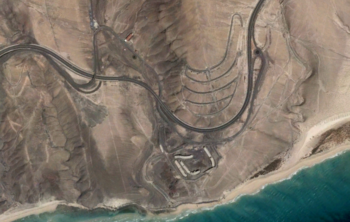
The documentation reveals notable changes in land use over this seventeen-year period. The earlier photograph shows a largely undeveloped coastal zone, while the later image displays the emergence of residential structures, road networks, and associated built infrastructure characteristic of tourism-oriented development in the Canary Islands.
These visual records serve as evidence of the territorial transformations that occurred during a period of significant expansion in coastal tourism infrastructure across the Spanish archipelago.