November 20, 2020
Roche, Murcia
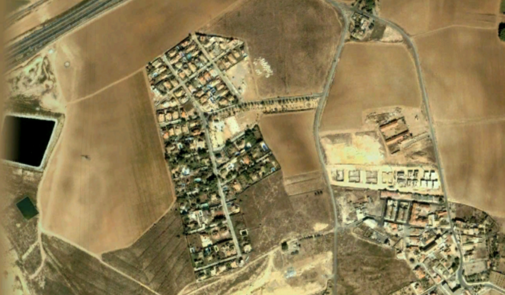
This visual documentation captures the territorial transformation observed in the Roche area of Murcia province between 2004 and 2018. The comparative analysis reveals significant changes in land use patterns and infrastructure development during this fourteen-year period.
2004
2018
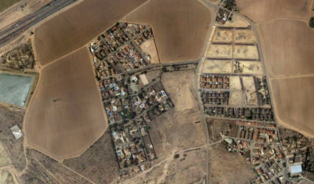
The aerial imagery demonstrates the extent of landscape modification that occurred in this location during the period examined. The visual evidence documents changes to the territorial configuration, illustrating patterns of development that characterized this region during the early 21st century.