A visual comparison documenting the transformation of land use patterns in Ólvega, located in the province of Soria. The imagery captures the evolution of the territorial landscape over a four-year period during the early 2000s expansion phase.
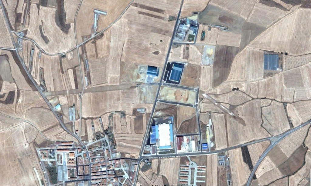
Territorial configuration documented in 2003
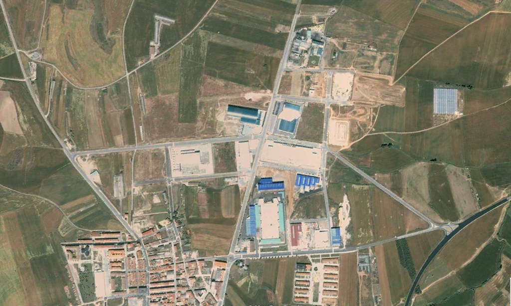
Development pattern documented in 2007, showing infrastructure expansion including roundabout construction
The photographic documentation reveals notable changes in the road infrastructure network and the peripheral urban fabric during this period. These modifications reflect broader patterns of territorial organization characteristic of Spanish municipalities during the mid-2000s development cycle.