Visual documentation captures the transformation of landscape patterns in the eastern expansion zone of Ciudad Quesada, located in the Alicante province. The comparative analysis presents two temporal snapshots spanning a two-year interval from 2015 through 2017.
The imagery reveals the progression of infrastructure development and land-use modification characteristic of coastal urbanization processes observed throughout the Mediterranean territorial belt during this period.
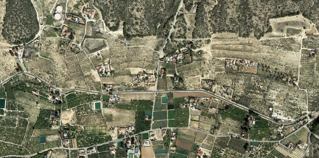 2015 Baseline
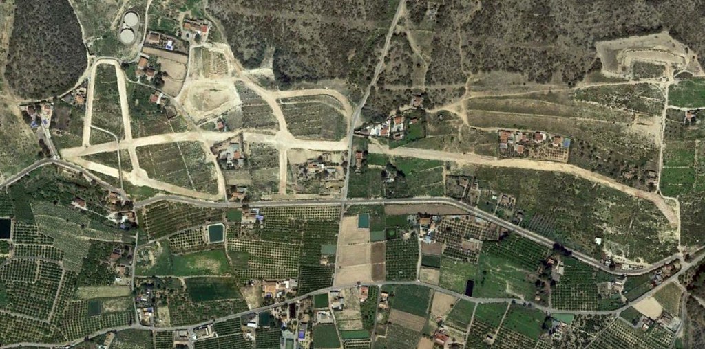 2017 Development
The sequential documentation illustrates the installation of circulation infrastructure including traffic management elements and roadway networks connecting the expansion zone to the existing settlement fabric.