April 21, 2015
Albal, Valencia
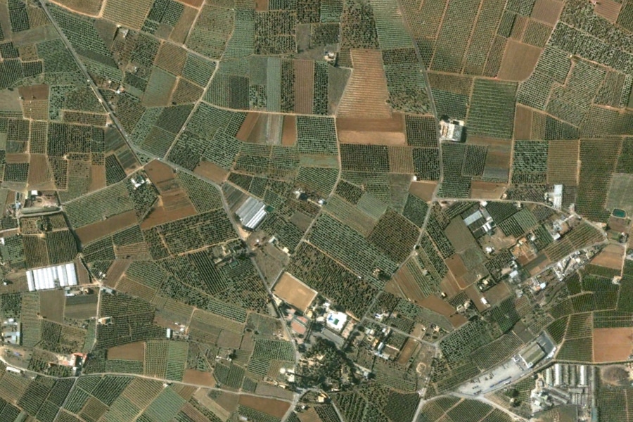
This aerial comparison captures the transformation of agricultural land into urban residential zones in Albal, a municipality located in the metropolitan area of Valencia. The imagery presents a clear view of landscape modification patterns characteristic of the Spanish construction expansion period.
Before: 2005
After: 2012
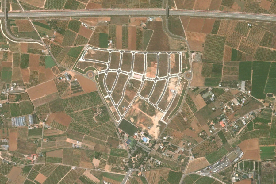
The photographic evidence documents the conversion of rural territory into structured residential plots over a seven-year span. This visual record illustrates the spatial dynamics of peripheral urban growth during the first decade of the 21st century.