MAY 4, 2015
Arredondo, Cantabria
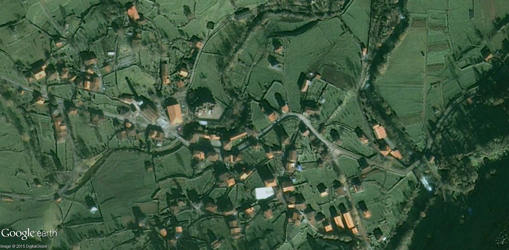
2002
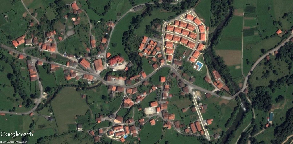
2011
This comparative aerial documentation captures the evolution of land use patterns in Arredondo, a municipality located in the autonomous community of Cantabria. The images present a visual record of how the territory has been modified during the period spanning from 2002 to 2011.
The photographic evidence allows observation of changes in construction density, road infrastructure, and the relationship between built environment and surrounding landscape. These temporal comparisons serve as archival documentation of territorial dynamics in the region.
View full documentation