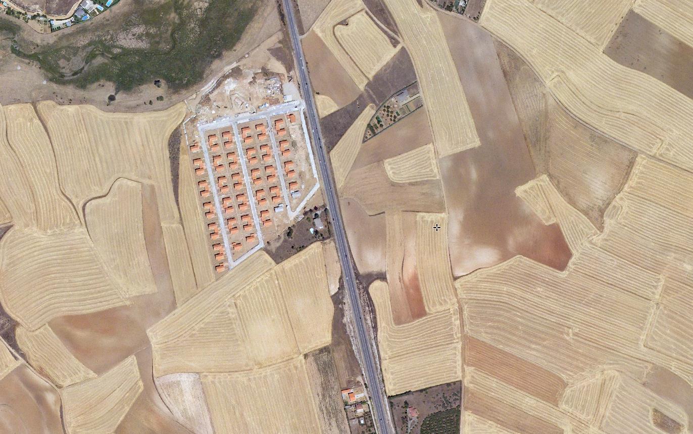
This visual documentation captures landscape transformation patterns in Arroyo de la Encina, located in the province of Salamanca. The comparative analysis spans from 2005 to 2014, revealing alterations in land use and territorial configuration.
2005
2014
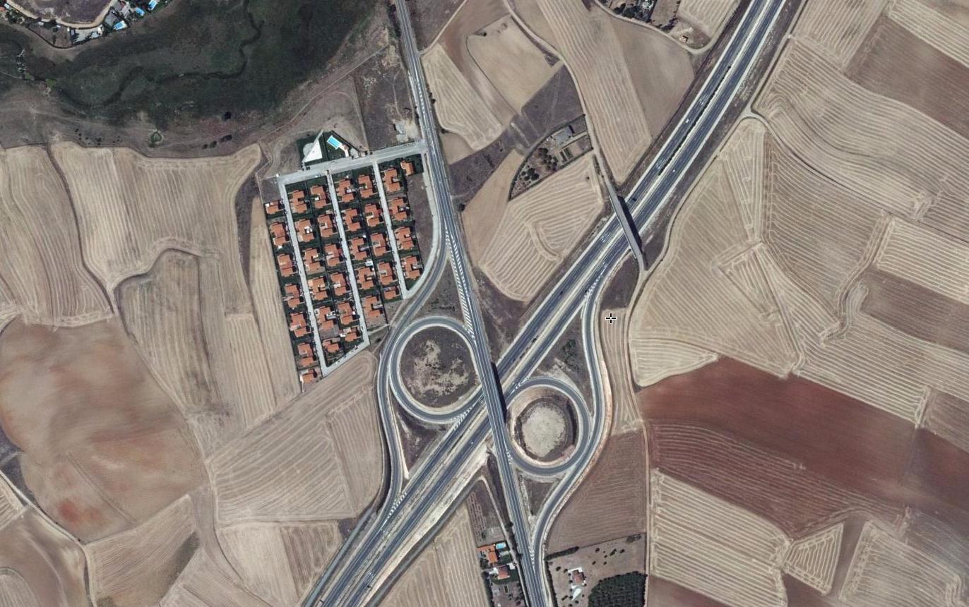
The photographs document the evolution of infrastructure and spatial organization within this territory. Observable changes include modifications to road networks and shifts in the surrounding landscape patterns characteristic of this period in Spanish territorial development.