2001
2017
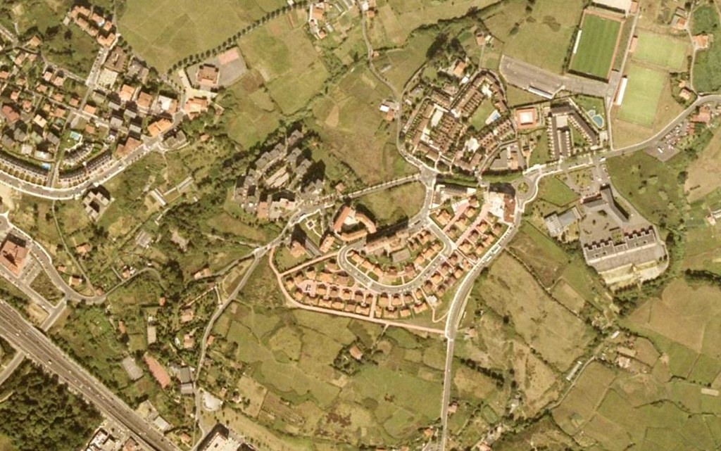
This aerial documentation captures the territorial transformation of Artatzagane in Bizkaia over a sixteen-year period. The comparative imagery reveals significant changes in land use patterns, infrastructure development, and the evolution of the built environment within this locality.
The visual record demonstrates how this area has undergone notable modification, with new roadway networks including roundabouts becoming prominent features of the landscape. These changes reflect broader patterns of urban expansion and infrastructure development characteristic of the region during this time period.