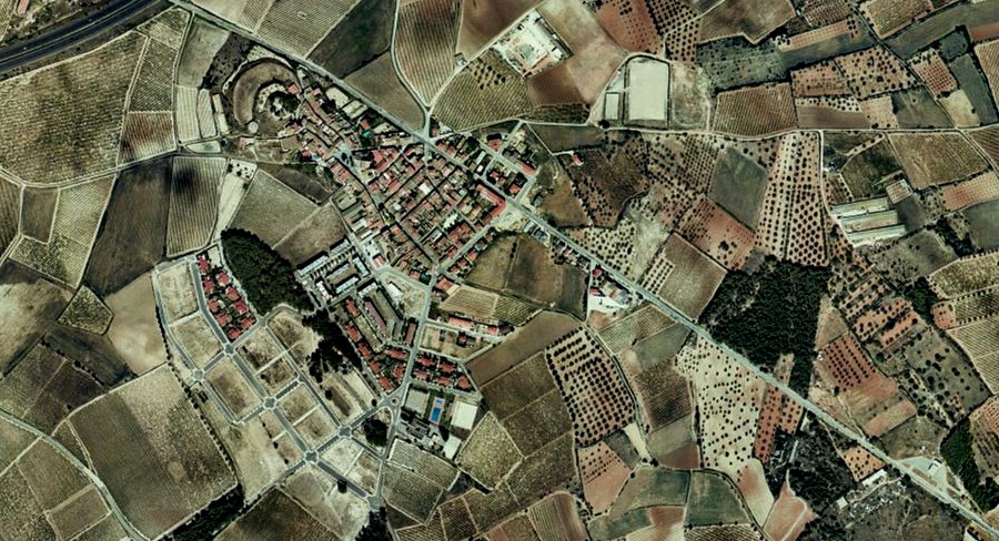
This visual comparison documents the territorial transformation observed in Banyeres del Penedés, a municipality in the Tarragona province, over a twelve-year period. The aerial imagery reveals significant changes in land use patterns and infrastructure development between the years 2000 and 2012.
Landscape Evolution: 2000-2012
2000
2012
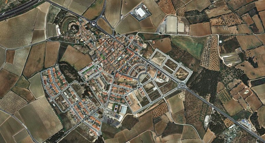
The imagery captures the evolution of this Catalan landscape, providing visual evidence of how territorial organization shifted during the period spanning the early 2000s through the immediate post-crisis years. The photographs document changes in both built environment and circulation infrastructure.