This comparative documentation examines the territorial evolution of Barrio de San Carlos in Alicante over a ten-year period. The imagery reveals significant changes in land use patterns and infrastructure development between 2005 and 2015.
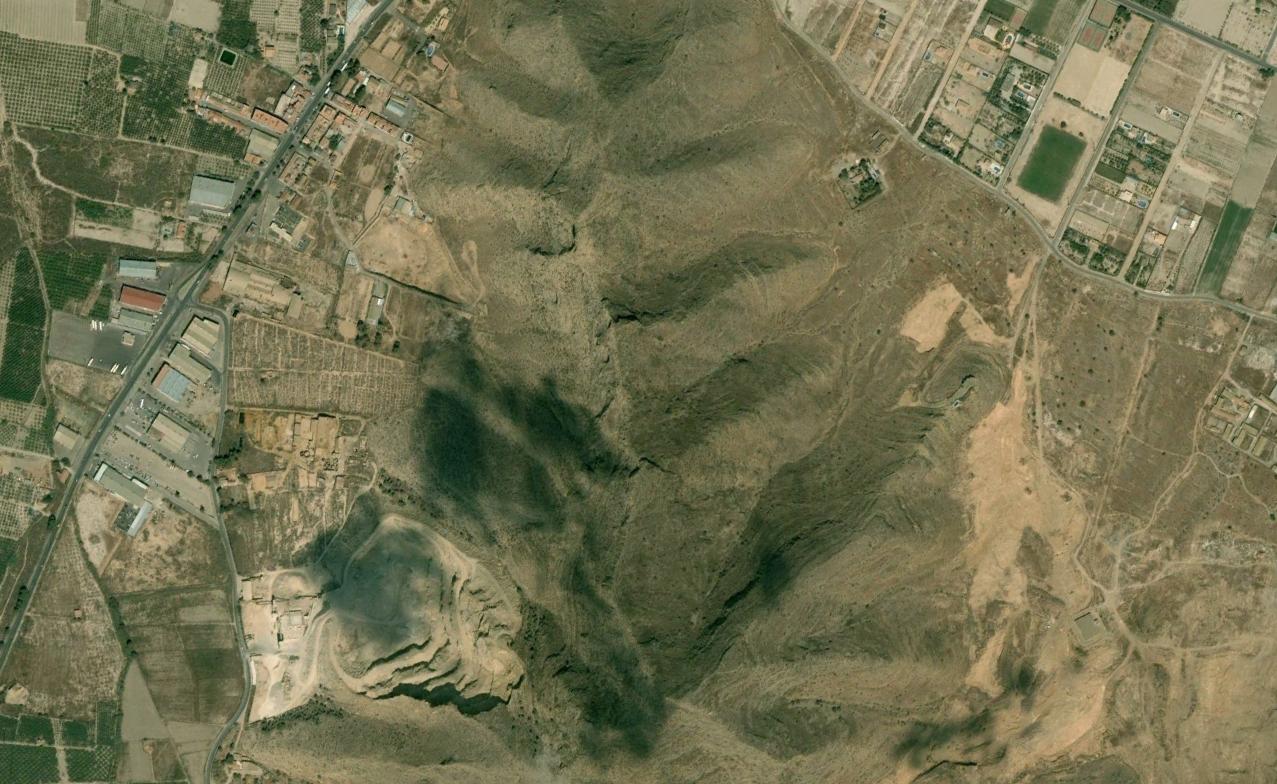
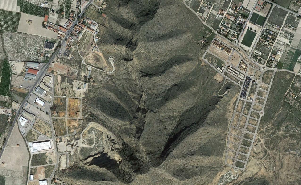
The satellite imagery documents the transformation of previously agricultural land into developed urban infrastructure. Notable changes include the construction of road networks and residential structures across the documented timeframe.