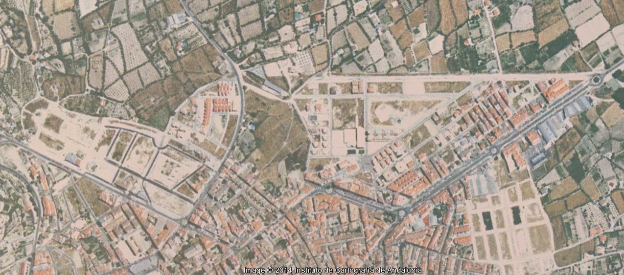
Visual documentation captures the territorial transformation of Baza, a municipality in Granada province, comparing landscape conditions between 2004 and 2011. The aerial photography reveals significant changes in land use patterns and urban development during this seven-year period.