Benicalap, Valencia
This visual comparison documents the territorial transformation observed in the Benicalap district of Valencia between 2000 and 2012. The imagery captures the evolution of the landscape during a period of significant urban expansion in the region.
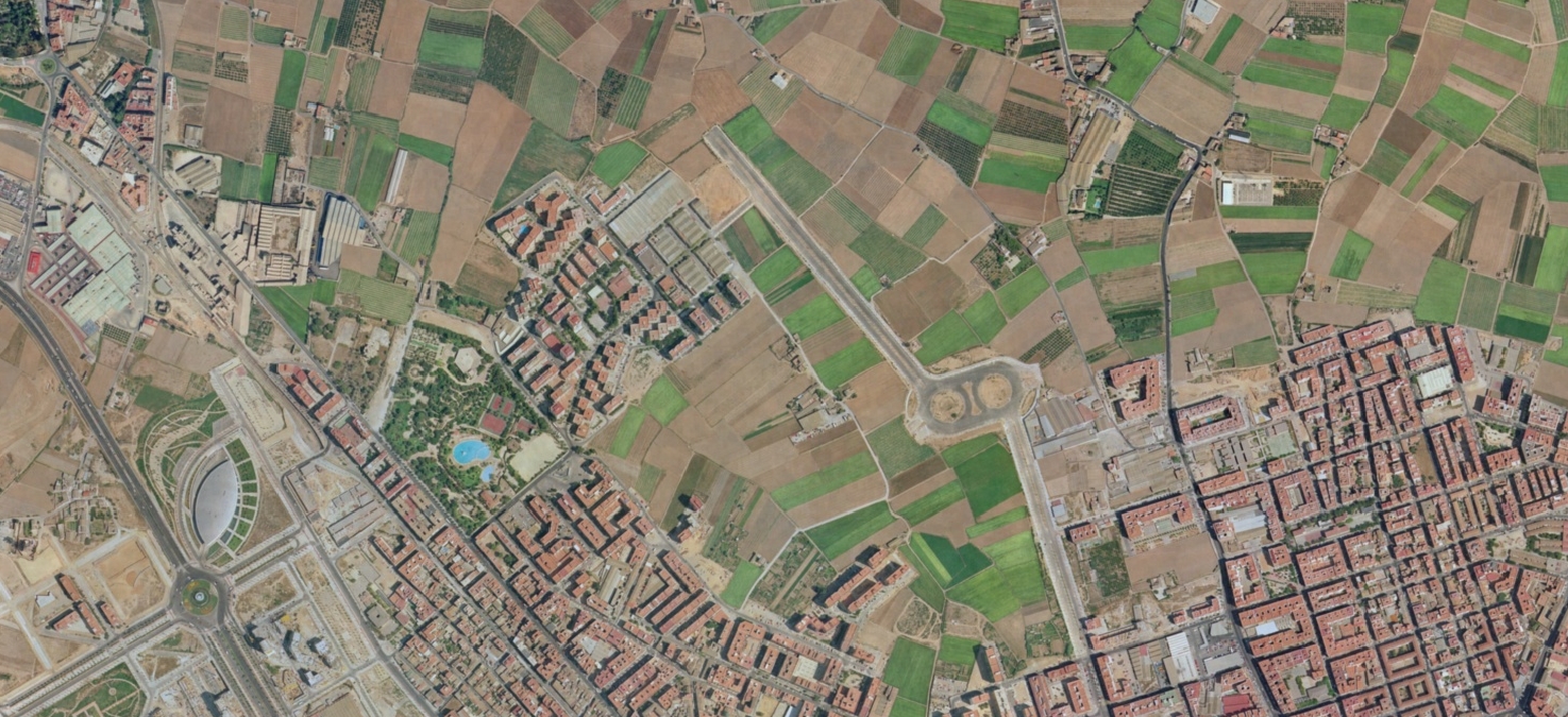
2000 – Pre-development landscape
2012 – Developed infrastructure
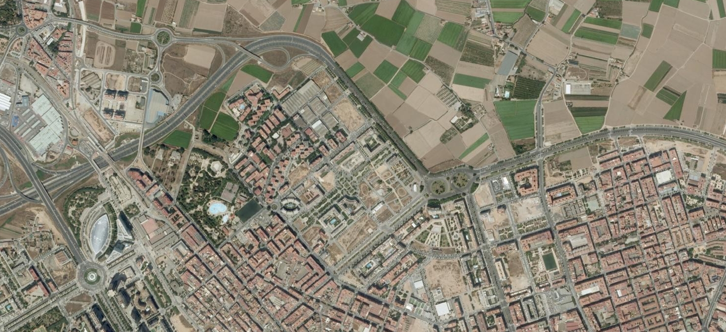
The documentation illustrates the conversion of open land into structured urban development, including the construction of roadway networks and associated infrastructure. This transformation represents patterns commonly observed throughout Spanish municipalities during the early 21st century.