A visual record documenting the landscape evolution in Benisanó, located in the Valencia province. The comparative analysis presents aerial imagery captured during two distinct periods, revealing the transformation of rural and semi-urban zones across a decade-long interval.
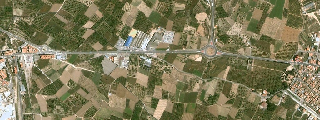
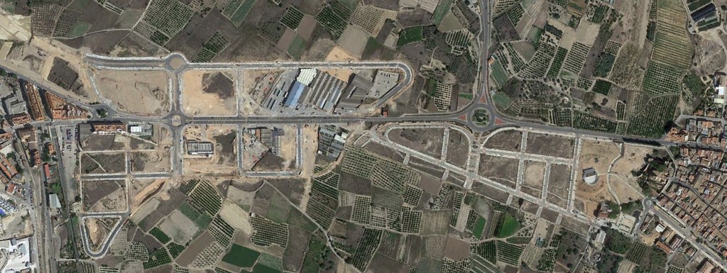
The visual documentation captures notable modifications in land use patterns, including the expansion of built environment, alterations to agricultural parcels, and the introduction of new circulation infrastructure connecting the municipality to surrounding territories.