This visual documentation captures the transformation of coastal landscape in the municipality of Mont-roig del Camp, located in the Tarragona province. The comparative imagery reveals the evolution of this Mediterranean territory over a fifteen-year period, specifically examining the area known as Bonmont Terres Noves.
The photographic evidence presents a clear contrast between the year 2000 and 2015, illustrating the substantial changes in land use and territorial configuration that occurred during Spain's construction expansion period.
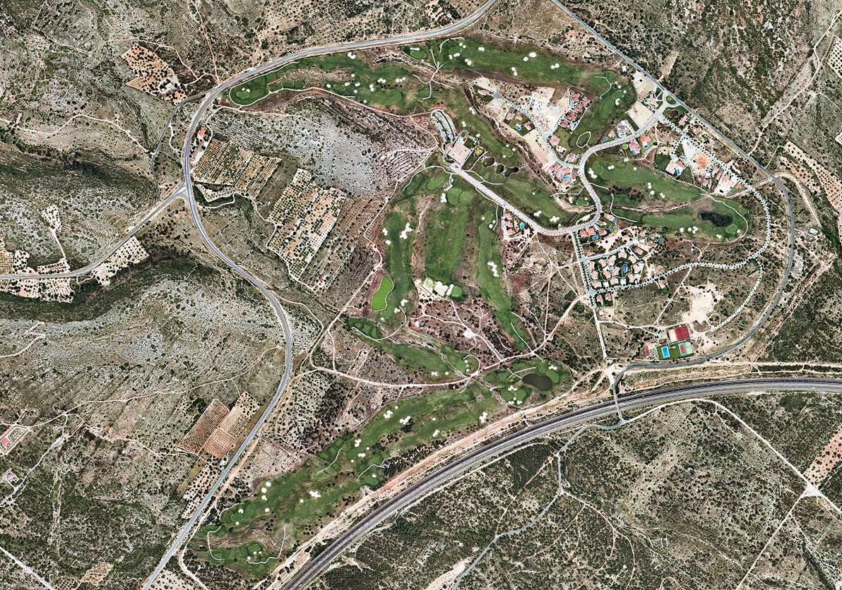
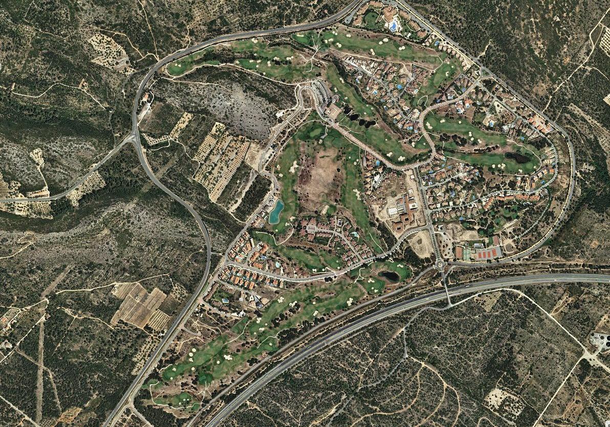
The imagery originates from publicly available aerial photography sources, documenting the progression of residential development and associated infrastructure networks in this section of the Catalan coastline.