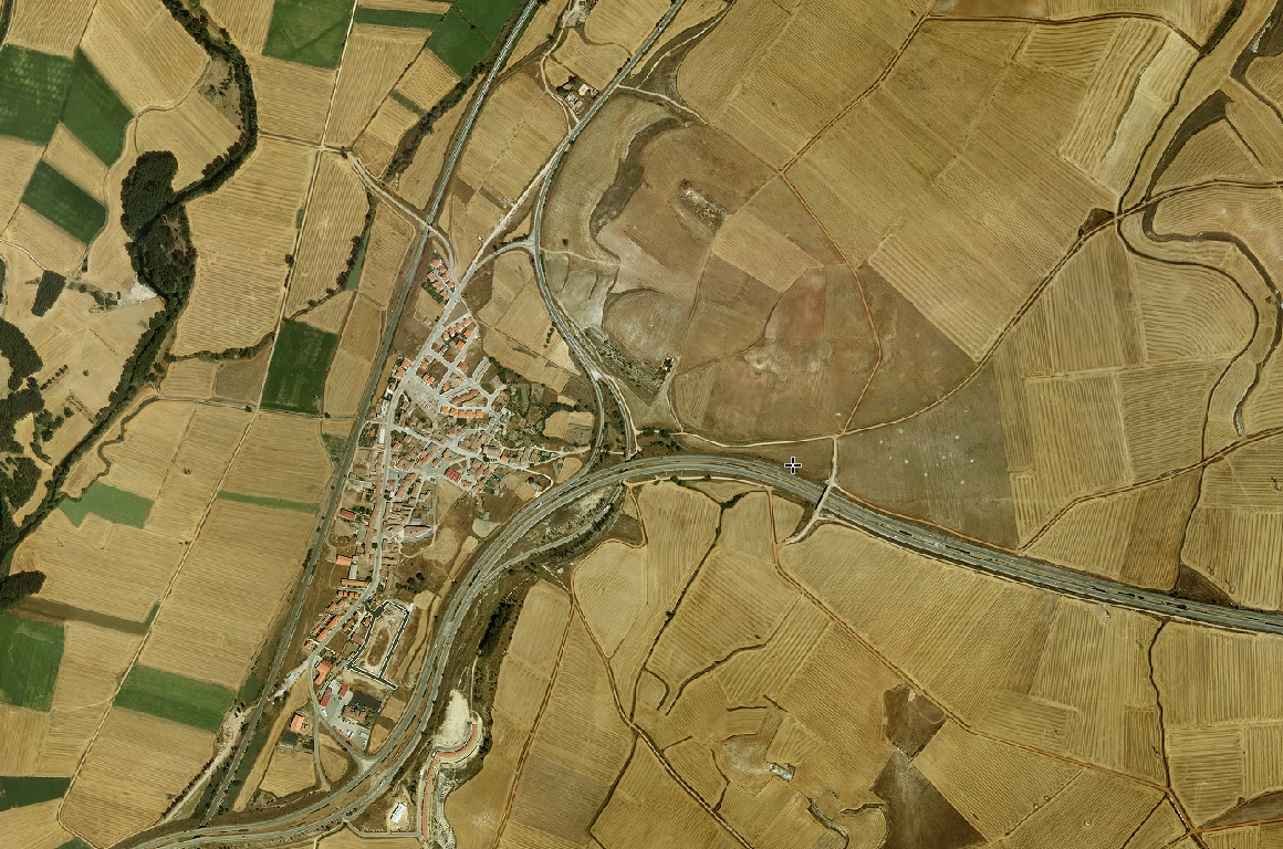
2005
2013
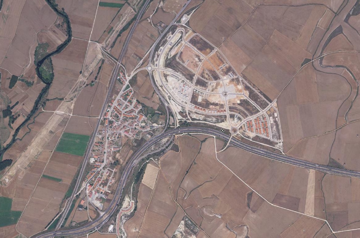
This visual documentation captures the transformation of the territory surrounding Buniel between 2005 and 2013. The imagery reveals significant modifications to the landscape, including alterations in land use patterns, development of new infrastructure, and changes to the urban periphery.