This comparative visual analysis documents the territorial modification observed in Cabañas de la Dornilla, located in León province. The photographic evidence presents a clear illustration of infrastructure development and land use alteration during a six-year observation window.
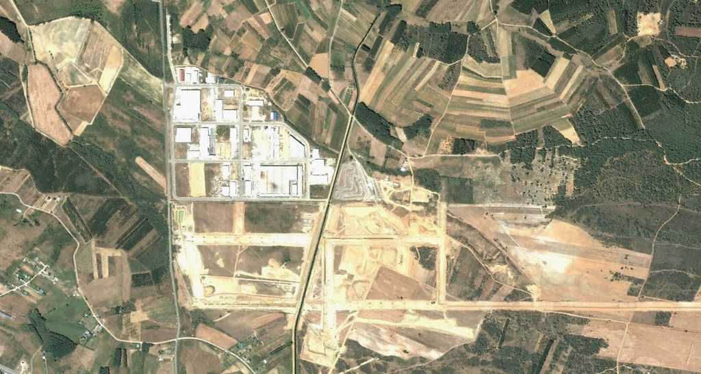
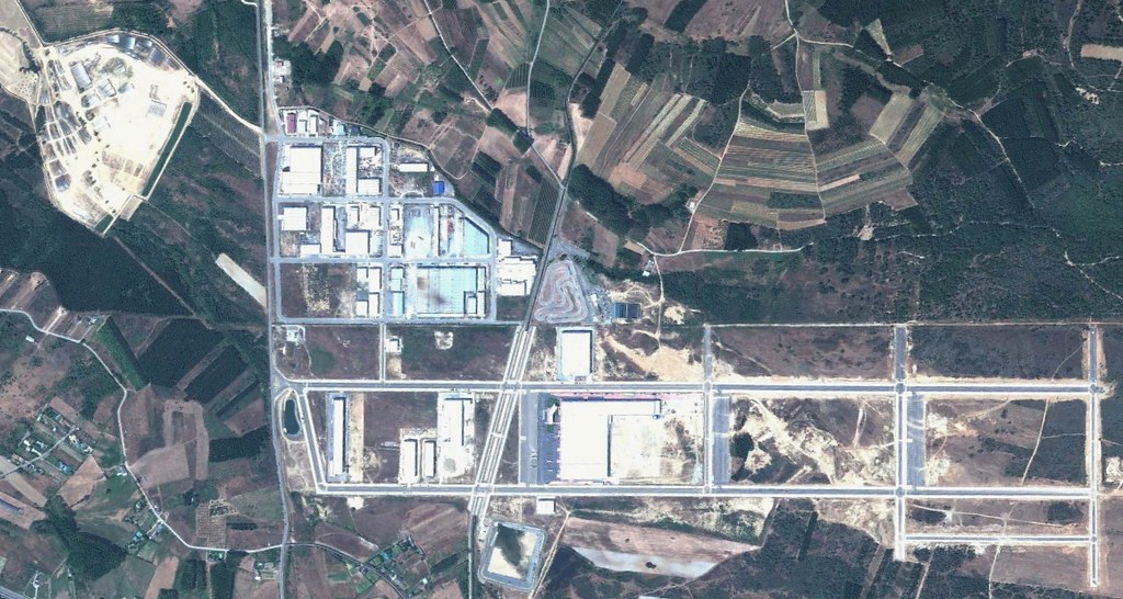
The sequential imagery captures the emergence of road infrastructure and the transformation of previously undeveloped terrain into built environment, characteristic of the territorial development patterns documented across multiple Spanish regions during this period.