Visual documentation of landscape transformation in the municipality of Mazarrón reveals significant territorial reconfiguration over a fourteen-year period.
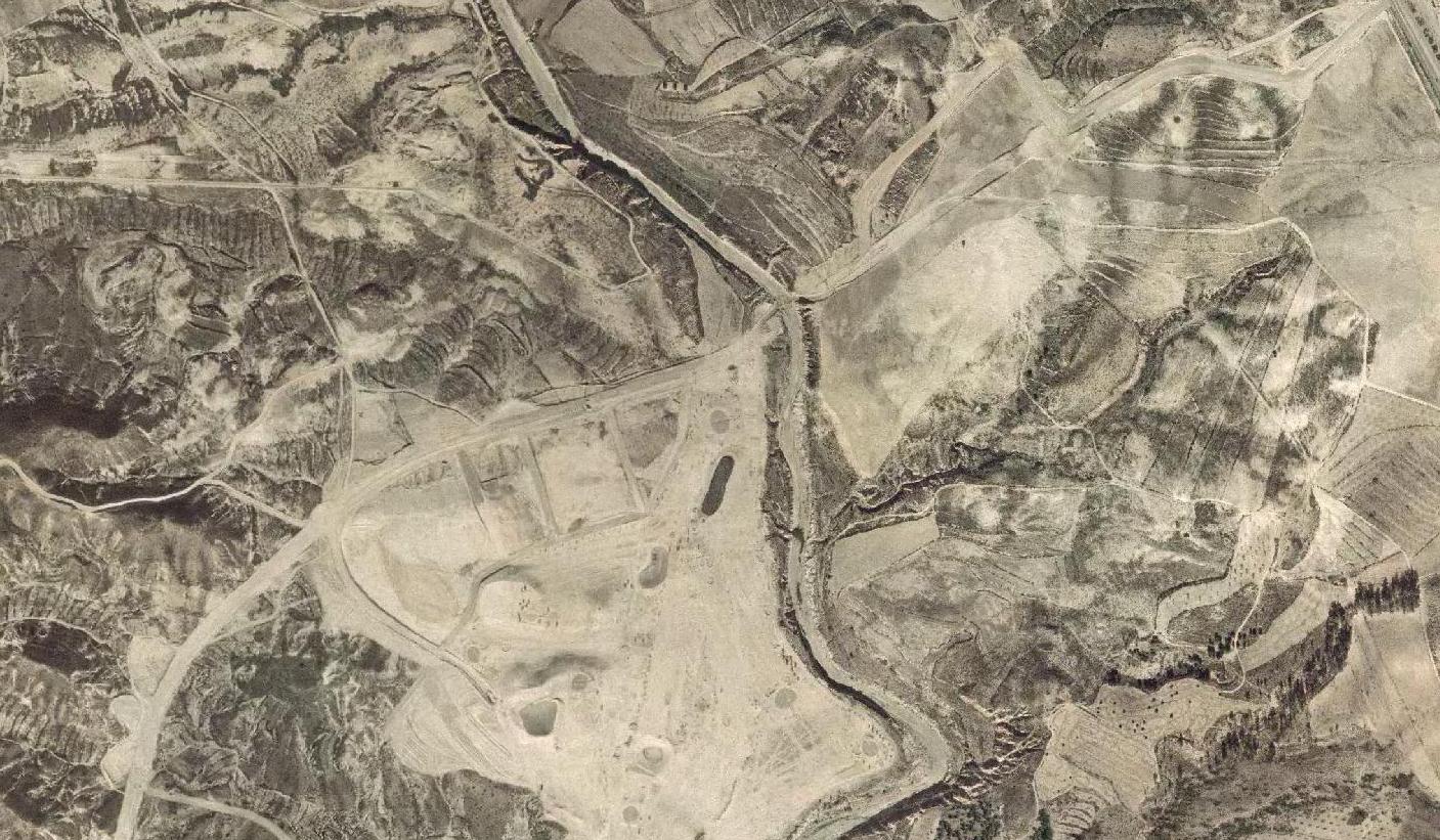
1999 - Initial landscape configuration
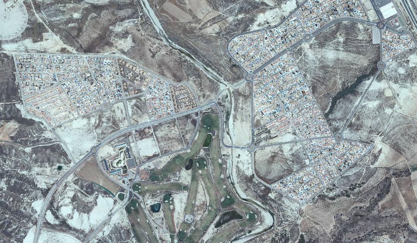
2013 - Developed urban pattern with road infrastructure
The comparative imagery illustrates the emergence of residential development and circulation networks in an area previously characterized by agricultural use.