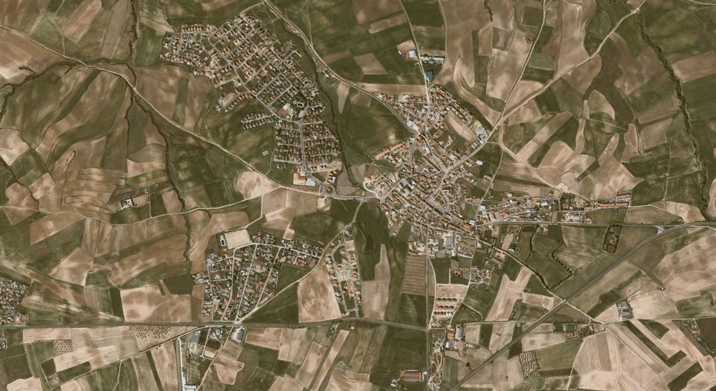
This comparative analysis presents aerial documentation of territorial changes in Carranque, located in the Toledo province. The imagery captures the evolution of land use patterns over a decade-long period.
2002
2012
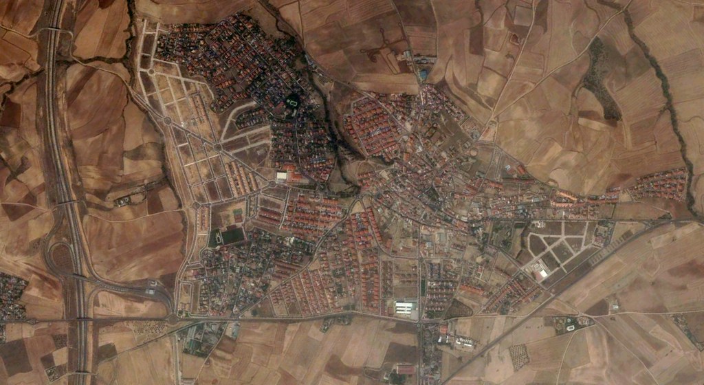
The documentation reveals significant alterations in the physical landscape, with visible changes to infrastructure networks and settlement patterns. These images form part of an ongoing visual inventory tracking territorial modifications across the Spanish landscape during the early 21st century.
View Full Documentation