Cartuja Baja, Zaragoza
This documentation captures the territorial transformation of Cartuja Baja, an area in Zaragoza, Spain, over a seven-year period. The visual evidence reveals significant landscape changes characteristic of urban development patterns observed throughout Spanish territory during the early 21st century.
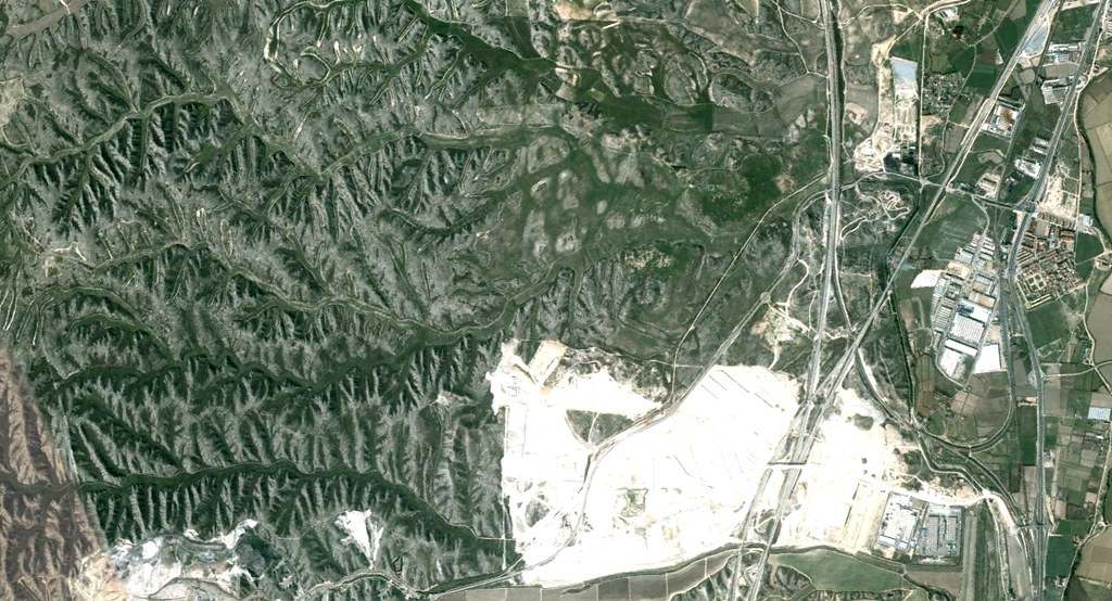
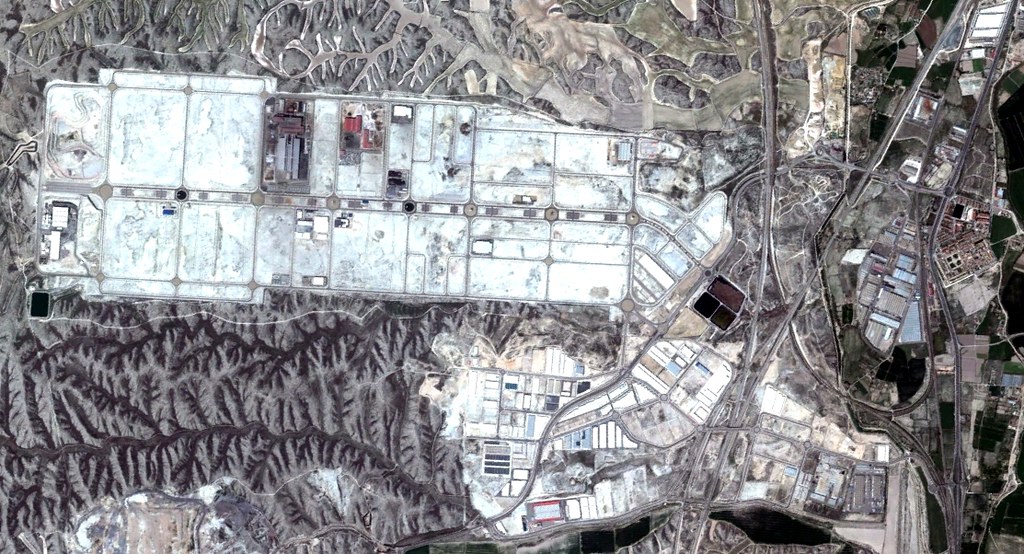
The comparative analysis presents aerial imagery from two distinct temporal points: the initial documentation from 2004 and subsequent capture from 2011. These images illustrate the conversion of agricultural and undeveloped land into urbanized infrastructure.
Observed Changes
The landscape transformation documented in these images reflects the establishment of road infrastructure, including the characteristic roundabout circulation systems that define much of Spain's modern peripheral development. The shift from open terrain to constructed environment represents a pattern replicated across numerous Spanish municipalities during this development period.
These visual records serve as objective documentation of land use evolution, offering evidence of the spatial reorganization that occurred in peri-urban zones throughout the region.