19/6/17
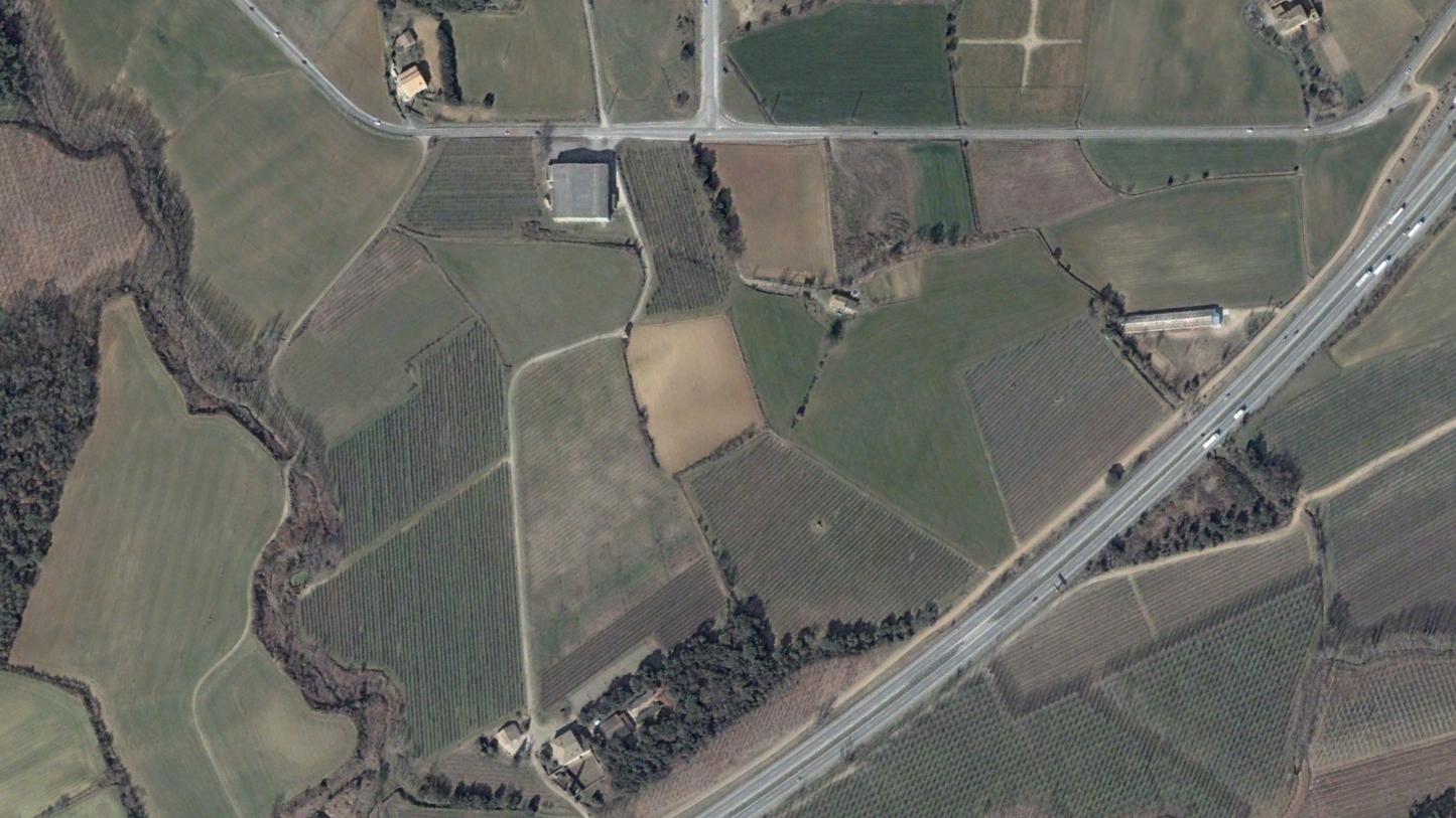
Casa Nova, Girona
2006
2014
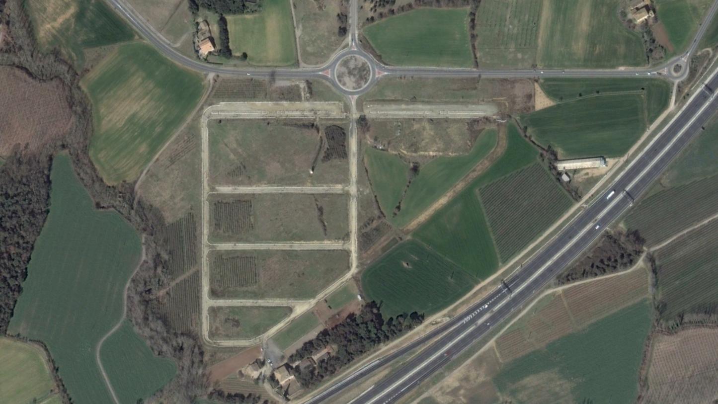
This visual record documents the territorial transformation observed in the Casa Nova area of Girona between 2006 and 2014. The comparative imagery reveals significant infrastructure development during this eight-year period.
The earlier photograph captures the landscape in its predominantly undeveloped state, characterized by open terrain and minimal constructed features. By 2014, the same location exhibits substantial changes in land use patterns, including the installation of transportation infrastructure such as roadways and circular intersections.
This documentation serves as part of a broader visual archive examining patterns of territorial change across Spanish landscapes during the early 21st century development period.