November 4, 2015
Casatejada, Cáceres
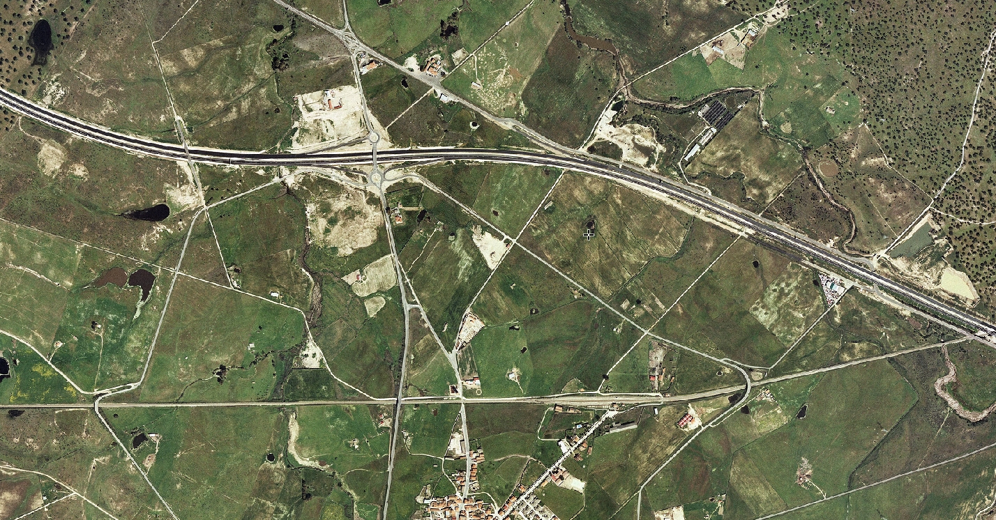
This documentation captures the transformation of Casatejada's landscape between 2006 and 2013, a period marked by significant changes to the municipal territory in the province of Cáceres.
2006
2013
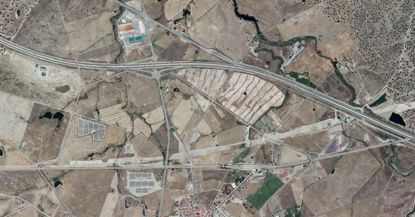
The aerial imagery reveals the evolution of urban infrastructure and land use patterns during this seven-year interval. Observable changes include modifications to road networks, alterations in building density, and shifts in the relationship between built environment and surrounding agricultural areas.
This visual evidence forms part of a broader documentation project examining territorial transformation across Spanish municipalities during the early 21st century development cycle.