Visual comparison documenting territorial changes in Caudete between 2006 and 2012. This before-and-after imagery reveals the patterns of land transformation that occurred during this period in the municipality.
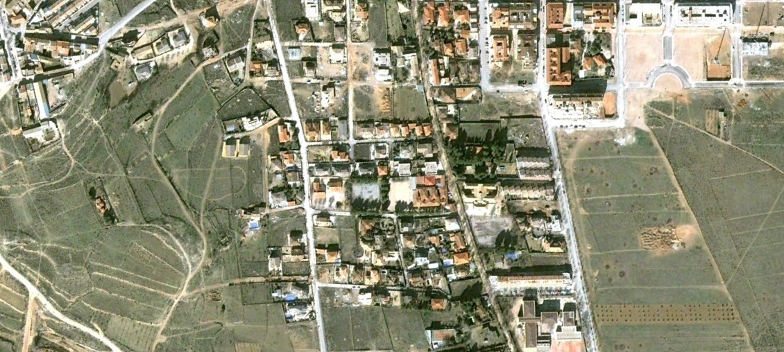
The documentation captures the evolution of urban footprint and infrastructure development across the landscape. These aerial perspectives provide evidence of how territorial use patterns shifted during the mid-2000s housing expansion period.