Visual documentation captures the territorial evolution of Madrid's northeastern judicial complex area. Comparative imagery reveals substantial landscape modifications occurring between 2002 and 2018, marking the transformation from agricultural terrain to urban infrastructure.
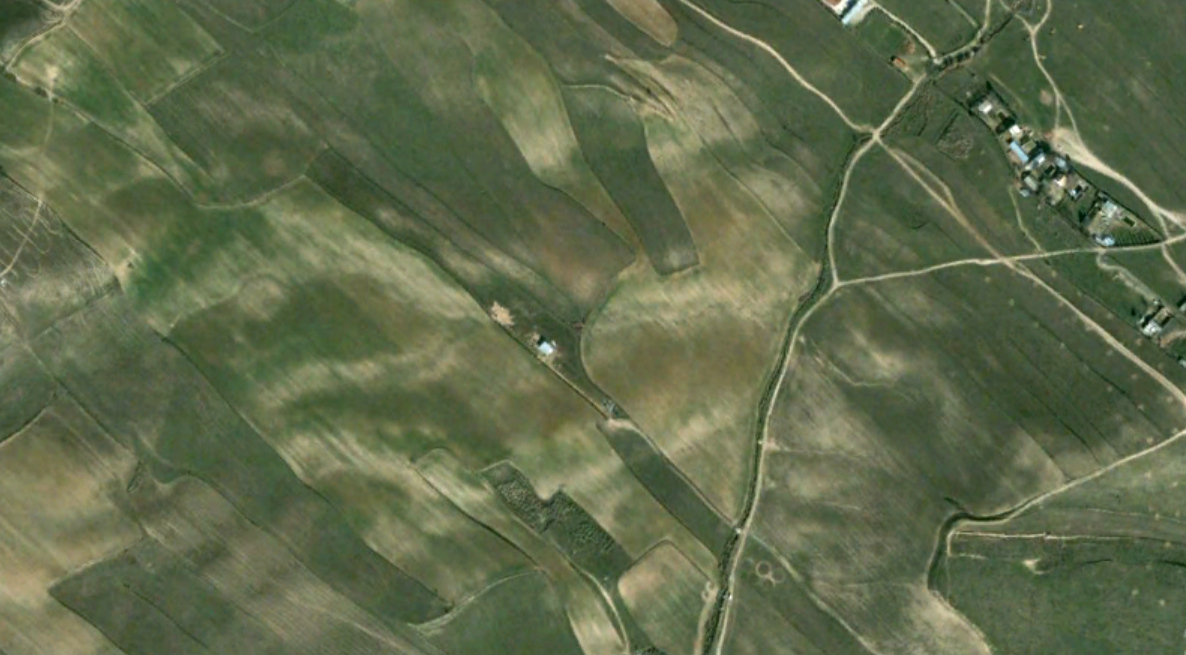
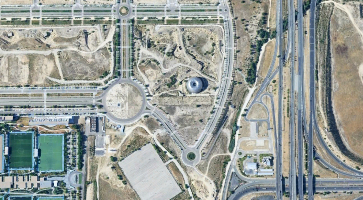
The photographic sequence illustrates the establishment of judicial facilities within Valdebebas, accompanied by transportation infrastructure development and residential zone expansion. This documentation forms part of a broader territorial observation initiative examining land use evolution across Spanish metropolitan regions.