Visual documentation capturing the transformation of the landscape in Concud, a municipality located in the province of Teruel. This comparative analysis presents aerial imagery from 2003 and 2013, revealing changes in land use patterns and infrastructure development over the decade.
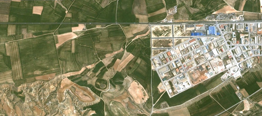
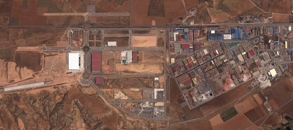
The imagery documents the evolution of the territorial structure, highlighting modifications in the built environment and road infrastructure that characterize the area's development trajectory during this period.