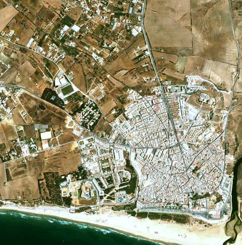
This documentation captures the transformation of the coastal landscape in Conil de la Frontera, located in the province of Cádiz, Andalusia. Through comparative aerial photography, the visual record illustrates significant changes to the territorial configuration of this coastal zone.
2002
2010
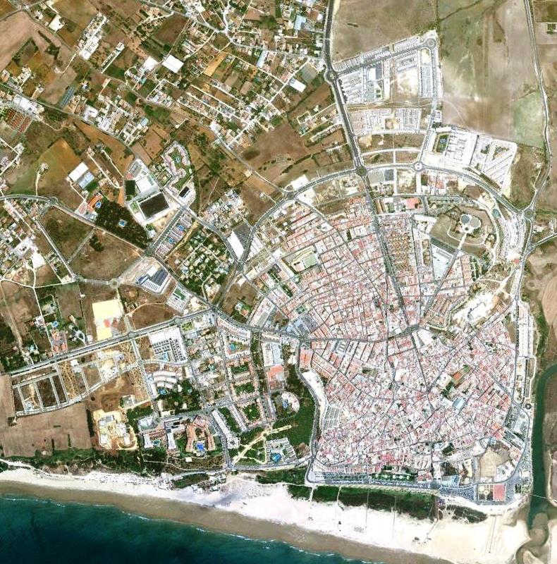
The imagery spans an eight-year period, from 2002 to 2010, documenting modifications in land use patterns along this section of the Atlantic coastline. The comparative analysis reveals the extent of built environment expansion in proximity to the natural beach landscape.