Cumbres de San Antonio, Valencia
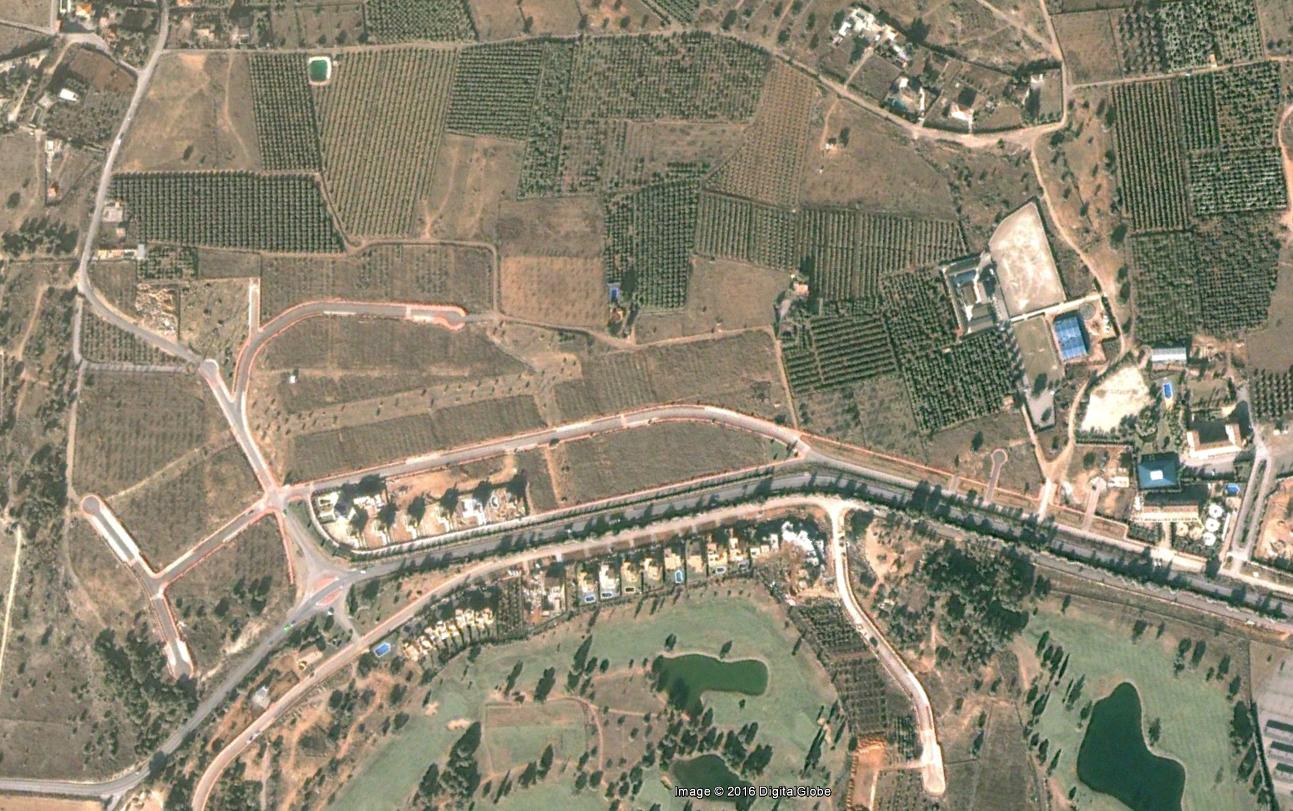
Photographic documentation captures the territorial evolution of this Valencia area, presenting a comparative analysis between 2002 and 2014. The visual evidence illustrates the progression of land use modification and infrastructure development within the examined timeframe.