This visual documentation captures the landscape evolution in Dolores, Alicante province, between 2004 and 2012. The comparative imagery reveals significant territorial modifications during this period, including infrastructure expansion and urban development patterns characteristic of the Spanish construction boom.
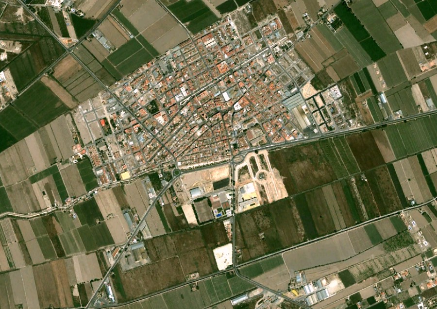
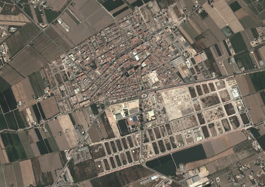
The transformation documented here reflects broader patterns of land use change observed throughout the Valencia region during the early 21st century. These changes include the development of transportation infrastructure and modifications to agricultural areas.