Visual documentation of territorial transformation in the Barranco del Cura area of Gran Canaria, Las Palmas province. The comparative imagery reveals significant landscape modifications over a fifteen-year observation period.
2000
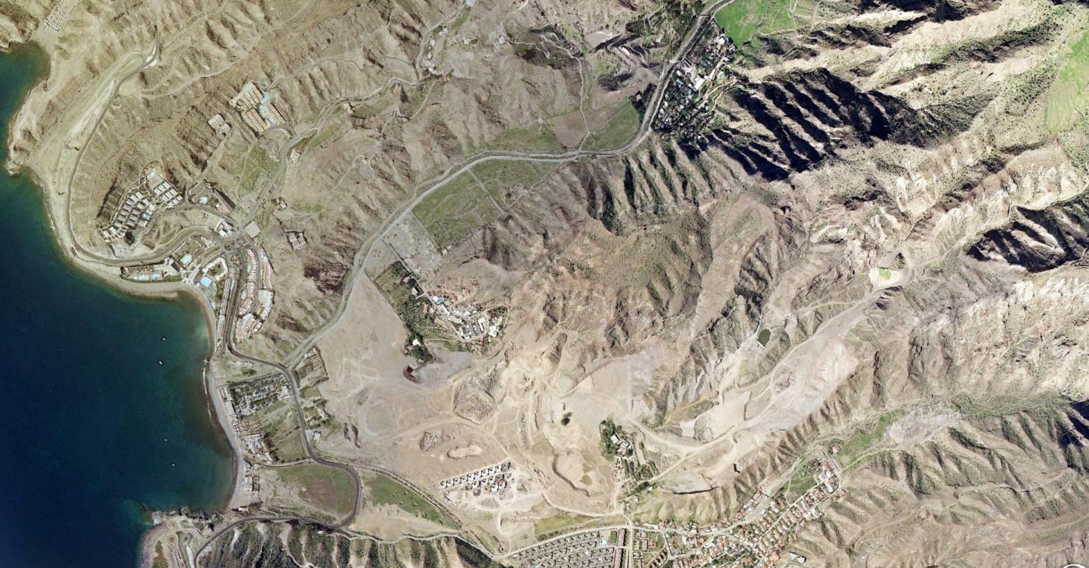
2015
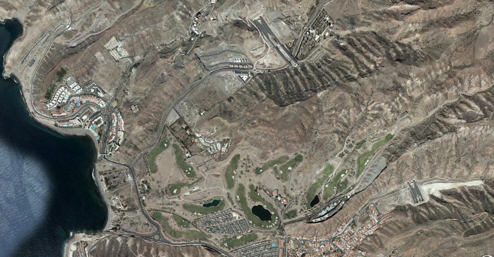
The photographs document the emergence of road infrastructure and associated development patterns in this previously undeveloped ravine landscape.