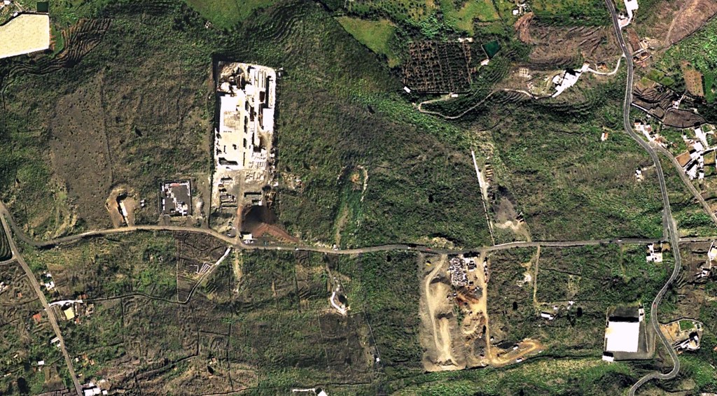
Before: 2000
After: 2012
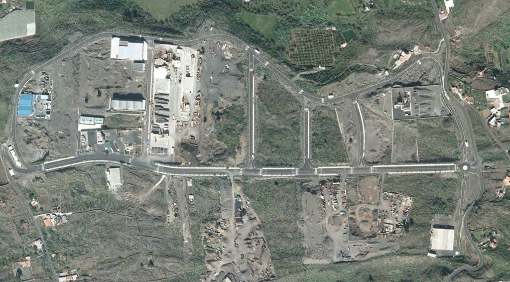
This documentation presents the visual evidence of territorial changes in the El Pedregal area of La Palma. The comparative analysis spans twelve years, revealing the patterns of land use transformation that occurred between 2000 and 2012. The images capture the shift from undeveloped terrain to constructed infrastructure, demonstrating the characteristic development trajectory observed across various Spanish territories during this period.