26/2/19
El Puig de Santa María, Valencia
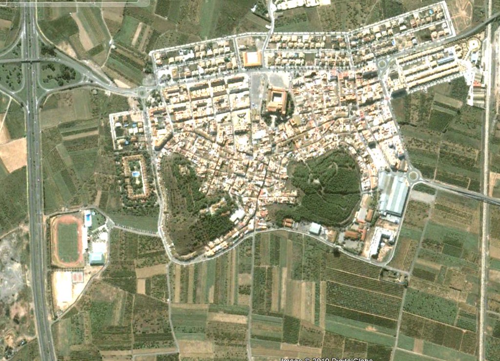
2002 VIEW:
2018 VIEW:
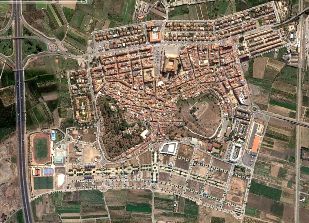
This visual documentation presents the landscape transformation observed in El Puig de Santa María, Valencia, captured through aerial imagery spanning sixteen years. The comparative analysis reveals significant alterations in land use patterns and territorial organization during Spain's urban expansion period.