This before-and-after comparison documents the industrial landscape surrounding the Ence cellulose production facility in Pontevedra, capturing territorial evolution between 2006 and 2012. The imagery reveals infrastructure development patterns characteristic of industrial zones during this period of economic expansion.
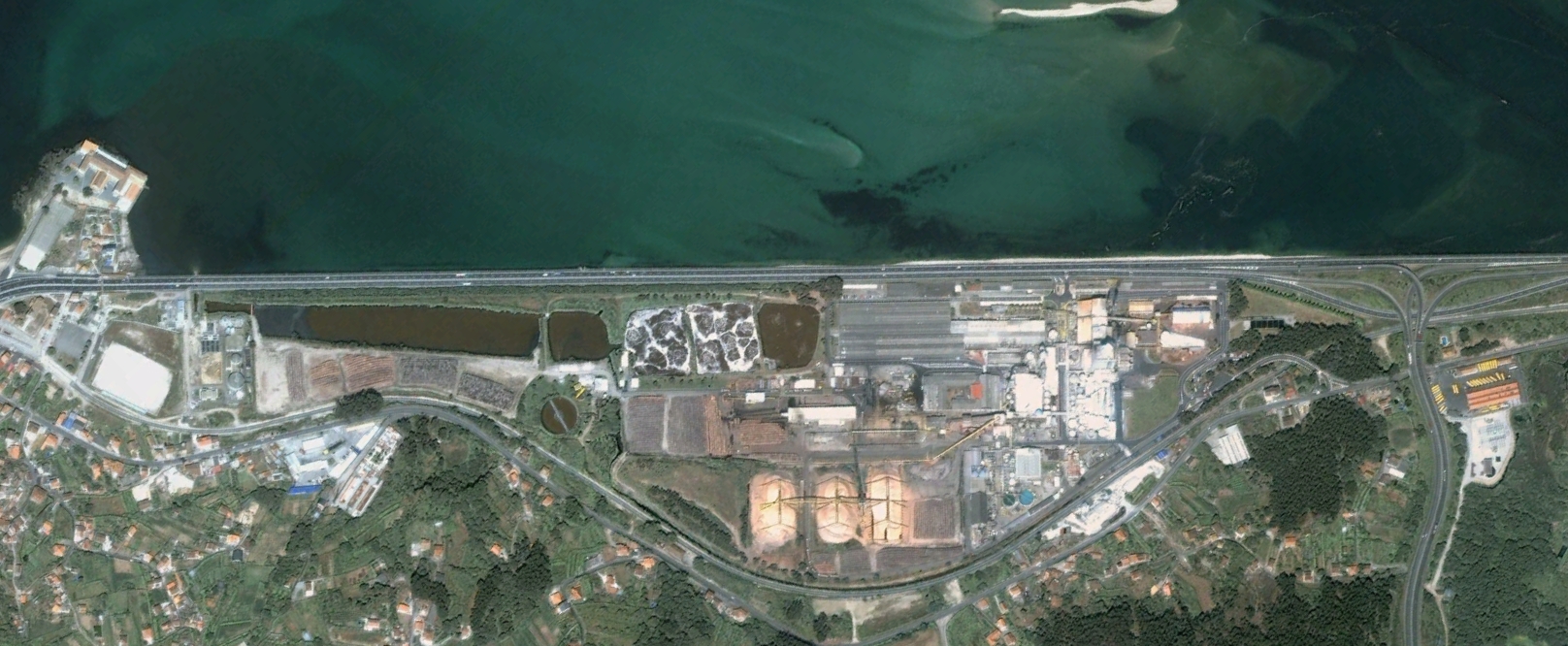
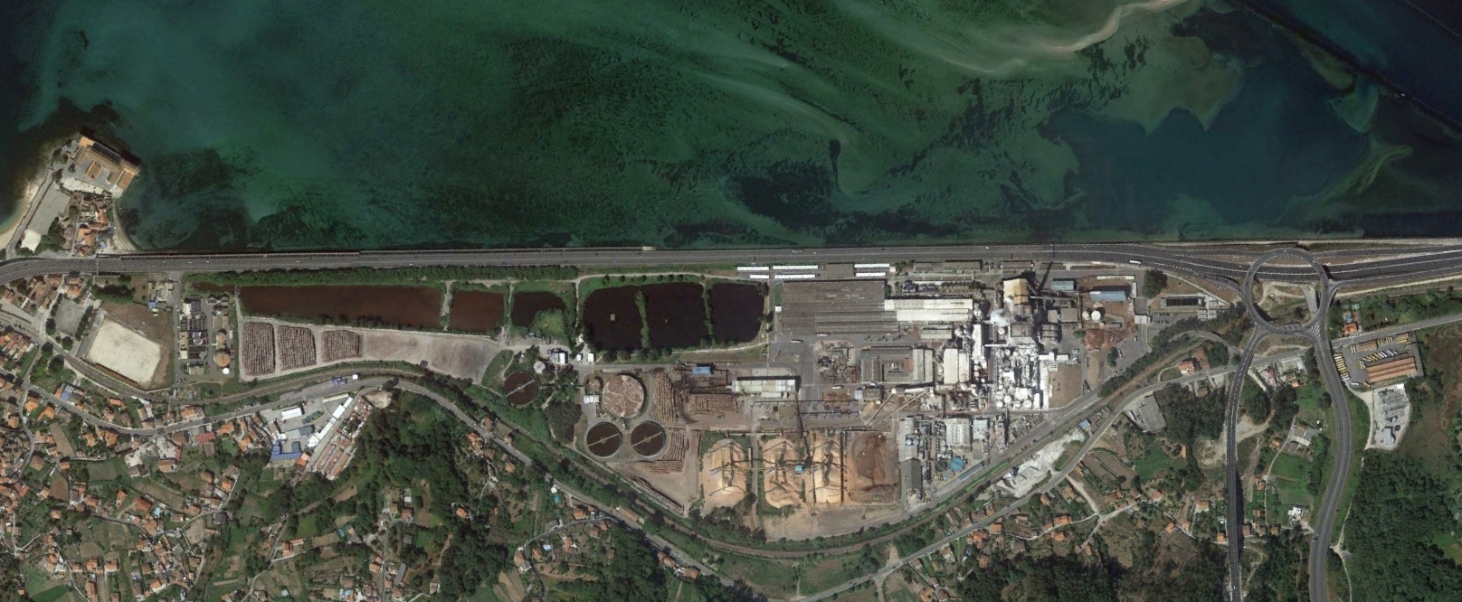
The visual record illustrates the transformation of road networks, access infrastructure, and spatial organization around industrial operations. These aerial perspectives provide evidence of how manufacturing zones reshape the surrounding territory through the development of circulation systems and support facilities.