Visual documentation capturing the transformation of Encinas Reales in Córdoba province. This comparative analysis presents landscape modifications observed between 2004 and 2018, illustrating shifts in land utilization and infrastructural development patterns characteristic of this Andalusian municipality.

2004 perspective
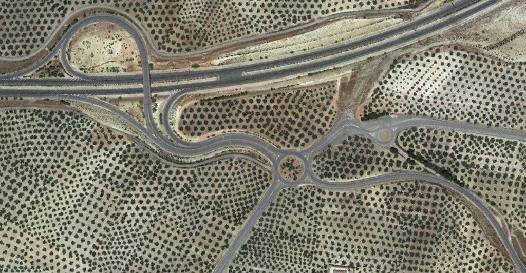
2018 perspective
The imagery documents the evolution of this territorial sector over a fourteen-year span, revealing alterations in spatial organization and construction activity within the municipal boundaries of Encinas Reales.