This visual record captures the transformation of landscape patterns in the municipality of Escóznar, located within the province of Granada. The comparison presents aerial documentation from two distinct periods, revealing changes in land use and infrastructure development across an eight-year interval.
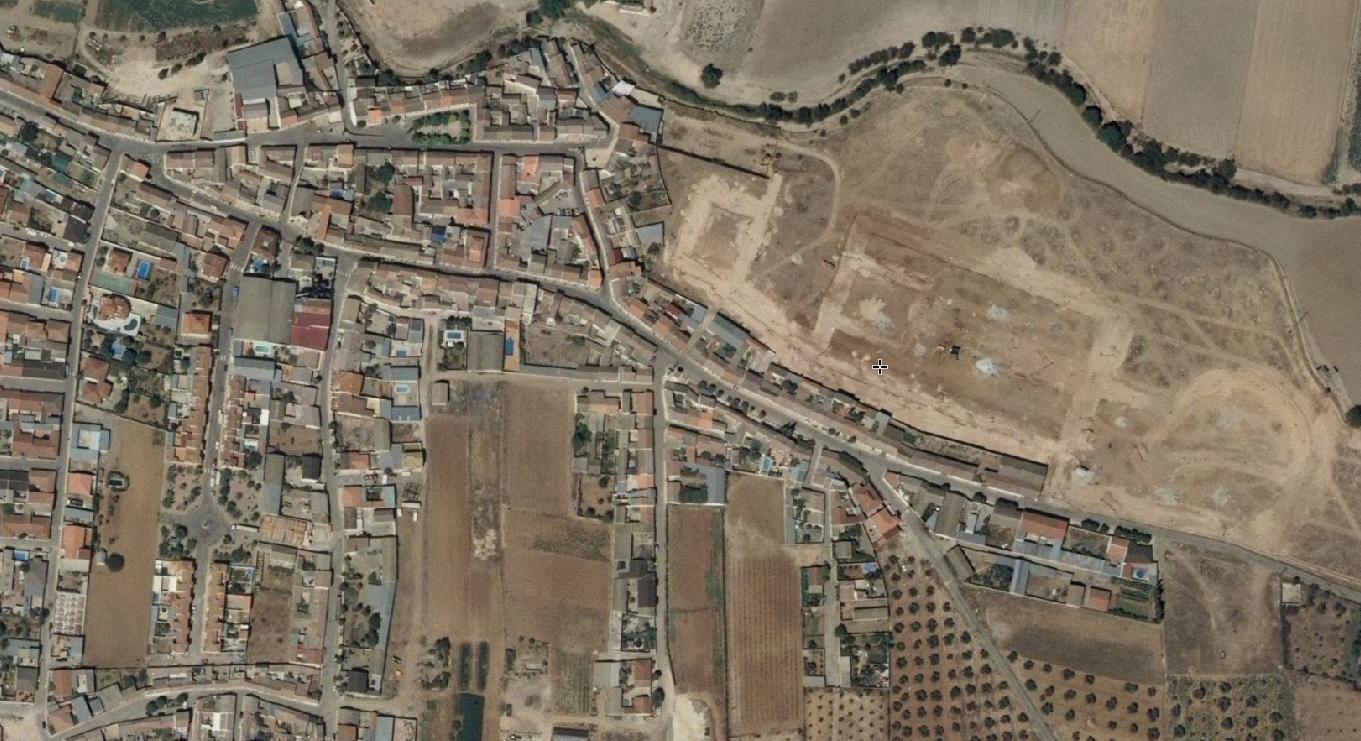
The photographic evidence documents observable alterations in the territorial organization of this Granada locality. Between the initial capture in 2006 and the subsequent documentation in 2014, the landscape exhibits modifications in road infrastructure and the spatial arrangement of built elements. These changes reflect broader patterns of development activity that characterized this period across numerous Spanish municipalities.
The comparative imagery serves as a factual record of how this particular section of Granada's territory evolved during the years spanning the mid-2000s through the early 2010s, a timeframe that witnessed significant shifts in construction and land development patterns throughout the region.