This aerial documentation captures the territorial evolution of the Expo Zaragoza site in Zaragoza between 2001 and 2011. The comparative imagery reveals the dramatic transformation of former agricultural and industrial land into the exposition grounds that hosted the 2008 International Exhibition.
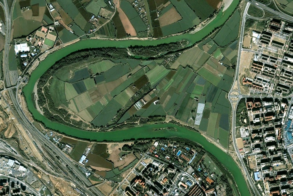
The before photograph from 2001 documents the undeveloped state of the terrain adjacent to the Ebro River meander. The 2011 image captures the completed exposition infrastructure, including pavilions, access roads, and the characteristic bridge spanning the river. This visual record demonstrates the scale of urban intervention undertaken for the international event focused on water and sustainable development.
The site's development introduced new circulation patterns and built structures into the landscape, permanently altering the relationship between the city and the riverfront. The documentation preserves evidence of this pivotal moment in Zaragoza's contemporary urban expansion.