This comparative sequence documents the dramatic transformation of Barcelona's waterfront district known as the Fórum area. The development represents a significant shift in how the city approached its coastal territory between the years 2000 and 2013.
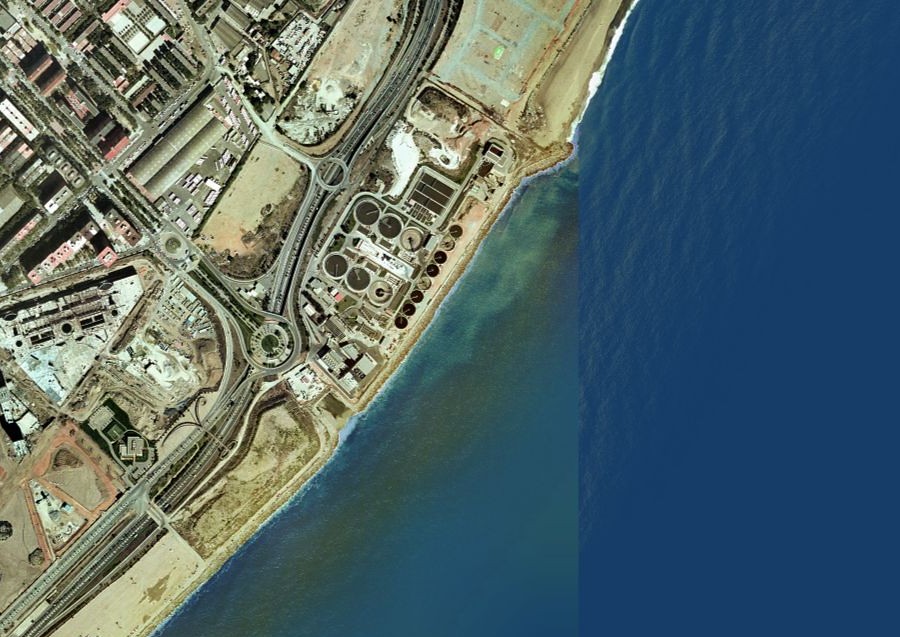
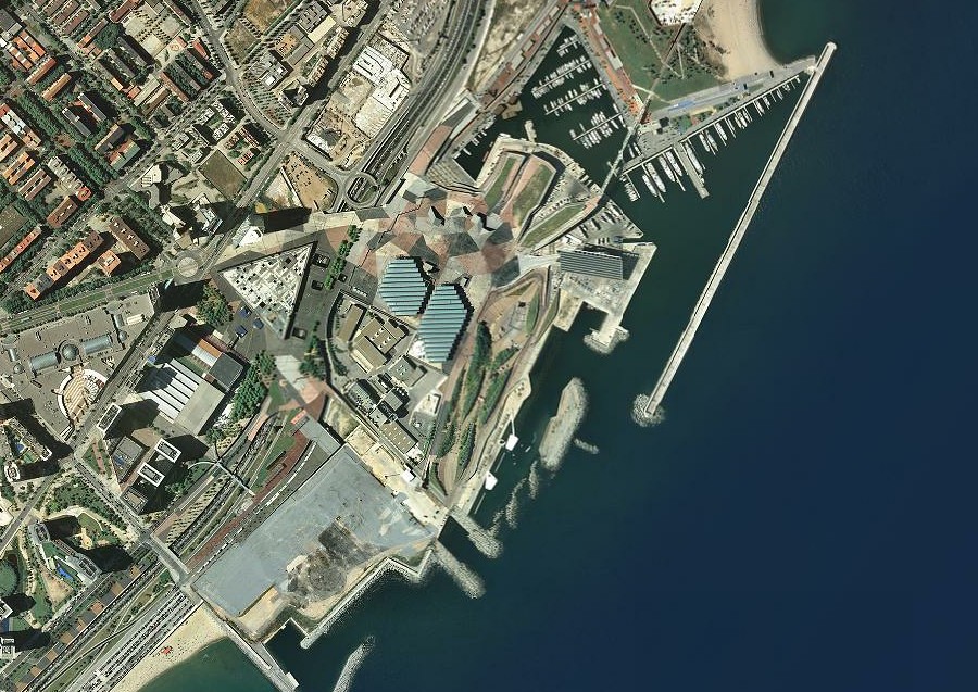
The photographs capture the evolution from relatively open coastal terrain to a comprehensively developed urban zone. Infrastructure expansion, building construction, and landscape modification are evident throughout the comparison. This transformation reflects broader patterns of territorial change documented across Spanish coastal and metropolitan regions during the early 21st century.
The visual record demonstrates how Barcelona's northeastern waterfront underwent systematic urbanization, incorporating new road networks, built structures, and modified land use patterns characteristic of the period's development approach.