May 29, 2013
Fuensaldaña, Valladolid
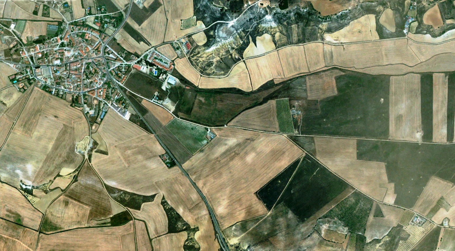
2009 – Baseline territorial conditions
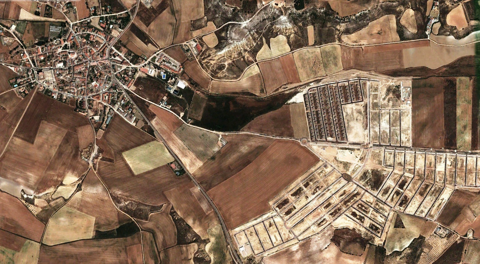
2012 – Observable landscape modifications
These comparative satellite images document the territorial transformation observed in Fuensaldaña during the 2009-2012 period. The visual evidence reveals notable alterations in land use patterns and spatial organization within this municipality of the Valladolid province.
The imagery provides a factual record of how this landscape evolved during the specified timeframe, capturing the physical evidence of urban planning decisions and development activities that reshaped this area of Castilla y León.