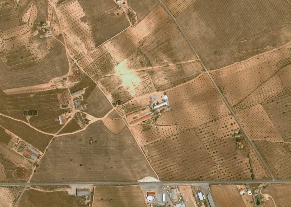
This visual record documents the territorial evolution of Fuente Álamo in the Murcia region, capturing significant changes in land use patterns between 2002 and 2015. The imagery reveals the transformation of rural landscapes into developed areas, characteristic of the period's urban expansion dynamics.
2002 - Initial State
2015 - Observed Changes
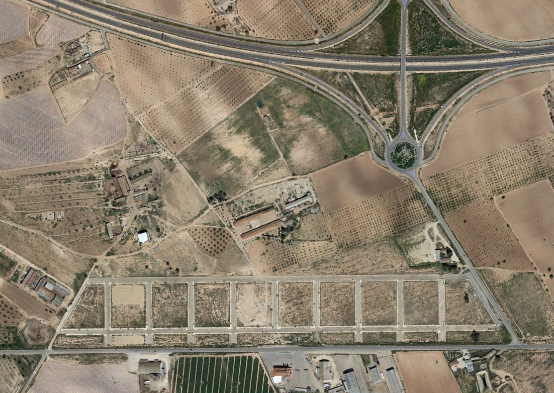
The comparative imagery illustrates the conversion of open terrain to urban infrastructure, including the appearance of road systems and roundabouts that became emblematic of Spanish development patterns during this era.