This visual documentation captures the dramatic landscape transformation of Fuente Milano in Madrid over an eleven-year period. The aerial imagery reveals significant changes in land use patterns and urban development between the early 2000s and the 2010s.
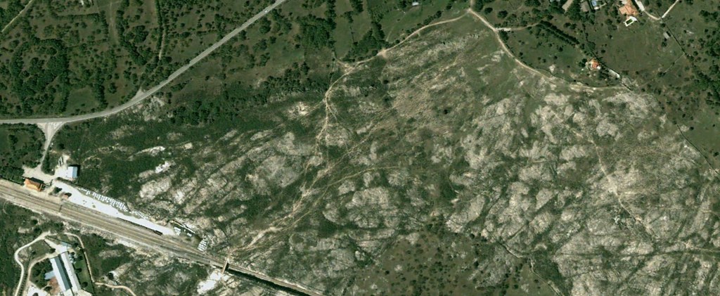
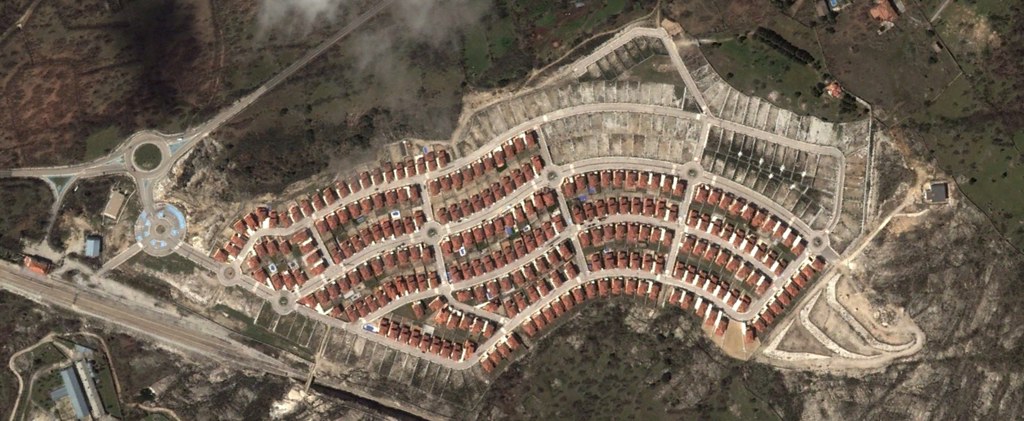
The comparative imagery illustrates the extent of territorial modification that occurred during Spain's construction boom period. The transformation encompasses changes to the natural landscape, infrastructure development, and the establishment of new road networks including prominent roundabouts characteristic of suburban expansion patterns.
These photographs serve as a factual record of how previously undeveloped land in the Madrid metropolitan area underwent substantial modification during this timeframe.